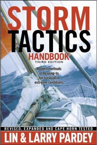
In a storm at sea, luck is highly biased toward the sailor who has a plan. So write Lin and Larry Pardey in this, the third edition of their highly regarded Storm Tactics Handbook. As in the first two editions of this book, they describe their concerns about the tendency of modern sailors to discard the classic methods used to bring sailing vessels of all sizes from vast clipper ships to tiny yachts through amazingly strong winds and heavy seas.
There is only one storm tactic that has the ability to sap the power of breaking seas, they explain. With clear and concise diagrams, they proceed to show how heaving-to works and how even the most modern of yachts can be made to heave-to, whether with only sail power or with the assistance of a sea anchor. A discussion of the many ways heaving-to can be useful at sea as a way to help the crew keep well rested, to effect repairs, to steady a vessel should outside assistance ever be necessary will convince even those who plan to run before their imagined ultimate storm that heaving-to is still a must know.
A series of user-friendly checklists will help sailors from the moment they start looking for their perfect offshore boat, through outfitting, and as they encounter their first storms at sea. Highly readable stories of the Pardeys encounters with storms, and of experiences related by several other modern sailors, help illustrate and expand the points made in this book.
Since writing the previous edition of Storm Tactics Handbook, Lin and Larry have voyaged an additional 35,000 miles. This has taken them as far north as Norway, twice across the Atlantic, south to Argentina, into the Pacific, around Cape Horn against the prevailing winds, and then on a circuit of the North Pacific. With insights gained from these recent voyages, they have fully revised and expanded this text by more than 40 percent, including nine completely new chapters.
New material includes: Lessons from Cape Horn An interview with the late Sir Peter Blake, on storm survival and heaving-to Heaving-to using a Galerider on 55-foot Morgan s Cloud Adding rudder protection stops Discussions on avoiding chafe, building and using storm staysails, choosing storm gear, deploying para-anchors, avoiding the worst areas of cyclonic storms, and many more have been expanded to answer many questions posed by readers and seminar attendees. Mario Vittone, a U. S. Coast Guard rescue swimmer for 14 years, in an unsolicited testimony, wrote: I have been on several rescues (and heard of many more) that would have been completely unnecessary if the sailboat captains aboard would have practiced the skills taught by Lin and Larry Pardey. Not knowing how to heave-to in bad weather is as inexcusable as not knowing red, right, return.
Previous editions of Storm Tactics Handbook have sold more than 32,000 copies worldwide. As recently as November 2007, the second edition ten years after its publication was consistently #1 on Amazon. com for instructional sailing books and #2 for atmospheric science. The companion DVD, Storm Tactics is also available.
Specifications
Material Options
 Our paper charts are printed on high resolution, heavyweight, water-resistant paper, using state of the art printing technology. The paper and printing process has been certified by NOAA and deemed to be suitable to withstand the rigors of use in the marine environment. FULL SIZED PAPER CHARTS ARE CERTIFIED FOR CARRIAGE ABOARD COMMERCIAL VESSELS |
 Our waterproof charts are printed on a TIP: If you plan to frame or laminate a chart using heat, then do not choose waterproof because the material can melt under heat. FULL SIZED WATERPROOF CHARTS ARE CERTIFIED FOR CARRIAGE ABOARD COMMERCIAL VESSELS |
Size Options |
|
|
|
 These are up-to-date, NOAA charts simply enlarged in size so that the small dimension of the chart is 42”, the long dimension is proportionally enlarged. These charts are printed beyond full size, therefore the scale is not the same as the full size NOAA chart, however the scale bars on the charts are proportionally enlarged in size, and can be used for reference. LARGE FORMAT CHARTS ARE NOT CERTIFIED FOR CARRIAGE ABOARD COMMERCIAL VESSELS |
Other Options |
|
|
|
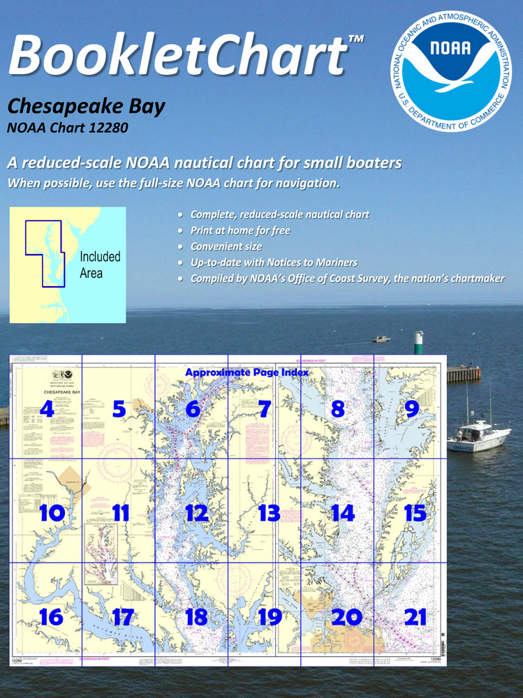
 Made to help recreational boaters locate themselves on the water. It has been reduced in scale for convenience, but otherwise contains all the information of the full-scale nautical chart. The bar scales have also been reduced, and are accurate when used to measure distances in these BookletCharts. • Professionally printed and staple-bound using high quality, durable paper. • Includes Notices to Mariners • Printed on-demand with the latest data from NOAA BOOKLET CHARTS ARE NOT CERTIFIED FOR CARRIAGE ABOARD COMMERCIAL VESSELS |
 |
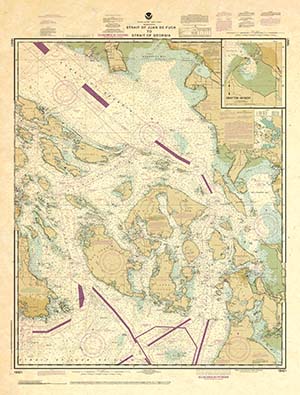
This is a unique line of decorative charts prepared by Paradise Cay Publications.
The short side of the chart is always printed at 36" and the long side will vary depending on the chart - please do not order framing prior to receiving the chart. These will memorialize your favorite coastal area in vintage style and we have added to the standard border of the typical NOAA chart to allow for a more professional, frame-ready presentation. DECORATIVE CHARTS ARE NOT CERTIFIED FOR CARRIAGE ABOARD COMMERCIAL VESSELS |


