Cart is empty
Reeds Weather Handbook 2nd edition
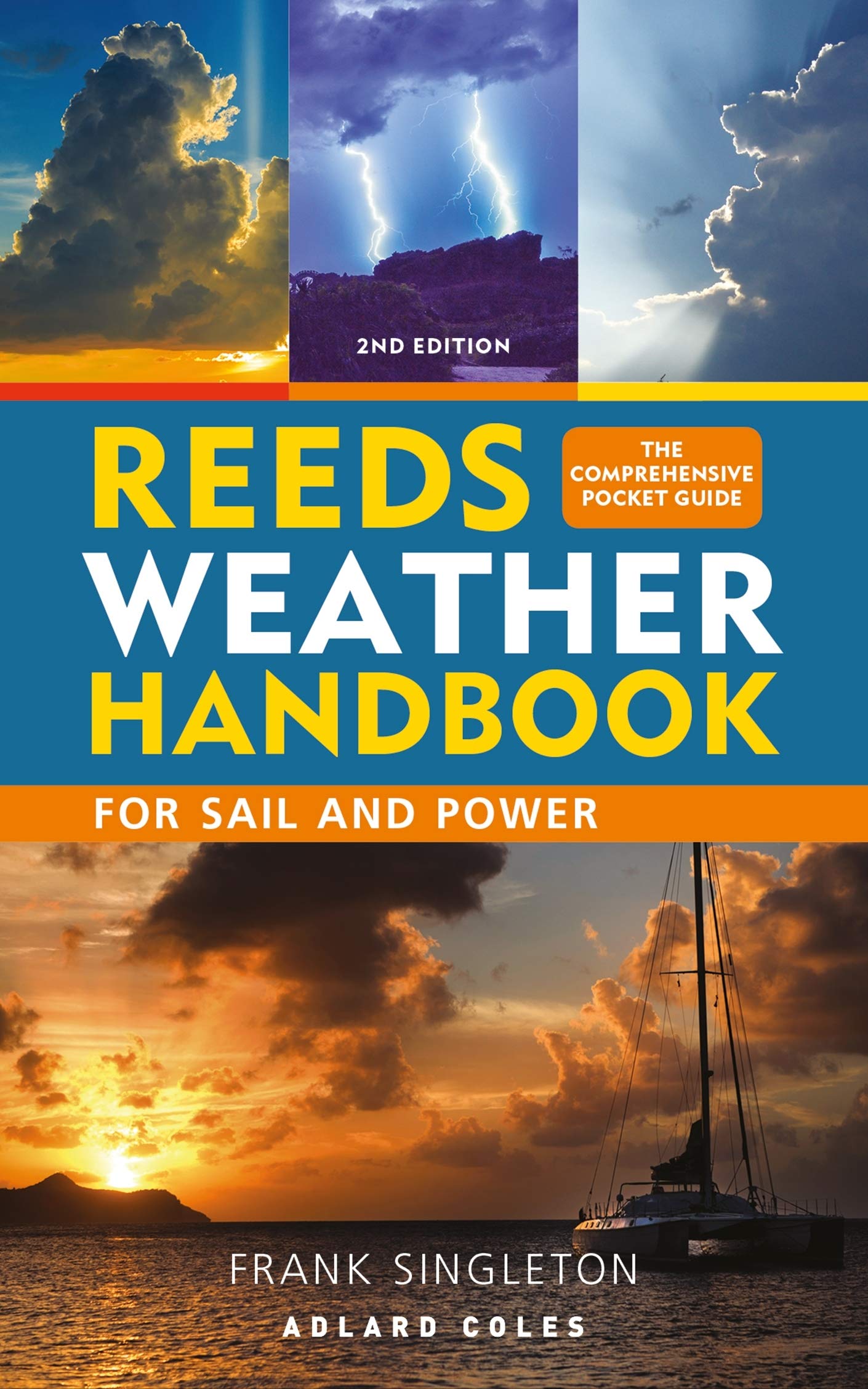
This pocket-sized guide will equip sailors with the knowledge to read and predict the weather.
Weather determines when we sail, where we sail to and whether we arrive safely. This essential pocket-sized guide equips the reader with all the necessary tools to predict and deal with local and distant weather conditions, whether on a day trip or a longer cruise, along the coast or further offshore.
Each topic is broken down into digestible chapters, explaining the origins and effects of the full spectrum of weather conditions, including:
- using and evaluating weather forecasts
- depressions, fronts, isobars and other coastal effects
- waves and swell
- weather lore and sky watching.
Meteorology is still advancing and sources of forecasts are changing. This new edition keeps the handbook up-to-date, with a particular focus on the increasing use of GRIB files, computer weather modelling and sources of forecasts, especially with the proliferation of computer forecasts becoming available free of charge.
With practical explanations and helpful diagrams and photographs, this is the ideal guide for skippers and crew, especially those studying for their Day Skipper and Yachtmaster exams.
Specifications
Dimensions (IN):
4 x 6
Pages:
143 pages
Author:
Frank Singleton
Supplier/Publisher:
MPS/Macmillan
Published Date:
2019
ISBN:
9781472965066
Date Added:
June 2019
Format:
Paperback
Material Options
 Our paper charts are printed on high resolution, heavyweight, water-resistant paper, using state of the art printing technology. The paper and printing process has been certified by NOAA and deemed to be suitable to withstand the rigors of use in the marine environment. FULL SIZED PAPER CHARTS ARE CERTIFIED FOR CARRIAGE ABOARD COMMERCIAL VESSELS |
 Our waterproof charts are printed on a TIP: If you plan to frame or laminate a chart using heat, then do not choose waterproof because the material can melt under heat. FULL SIZED WATERPROOF CHARTS ARE CERTIFIED FOR CARRIAGE ABOARD COMMERCIAL VESSELS |
Size Options |
|
|
|
 These are up-to-date, NOAA charts simply enlarged in size so that the small dimension of the chart is 42”, the long dimension is proportionally enlarged. These charts are printed beyond full size, therefore the scale is not the same as the full size NOAA chart, however the scale bars on the charts are proportionally enlarged in size, and can be used for reference. LARGE FORMAT CHARTS ARE NOT CERTIFIED FOR CARRIAGE ABOARD COMMERCIAL VESSELS |
Other Options |
|
|
|
 Made to help recreational boaters locate themselves on the water. It has been reduced in scale for convenience, but otherwise contains all the information of the full-scale nautical chart. The bar scales have also been reduced, and are accurate when used to measure distances in these BookletCharts. • Professionally printed and staple-bound using high quality, durable paper. • Includes Notices to Mariners • Printed on-demand with the latest data from NOAA BOOKLET CHARTS ARE NOT CERTIFIED FOR CARRIAGE ABOARD COMMERCIAL VESSELS |
 |
This is a unique line of decorative charts prepared by Paradise Cay Publications.
The short side of the chart is always printed at 36" and the long side will vary depending on the chart - please do not order framing prior to receiving the chart. These will memorialize your favorite coastal area in vintage style and we have added to the standard border of the typical NOAA chart to allow for a more professional, frame-ready presentation. DECORATIVE CHARTS ARE NOT CERTIFIED FOR CARRIAGE ABOARD COMMERCIAL VESSELS |


No reviews found
