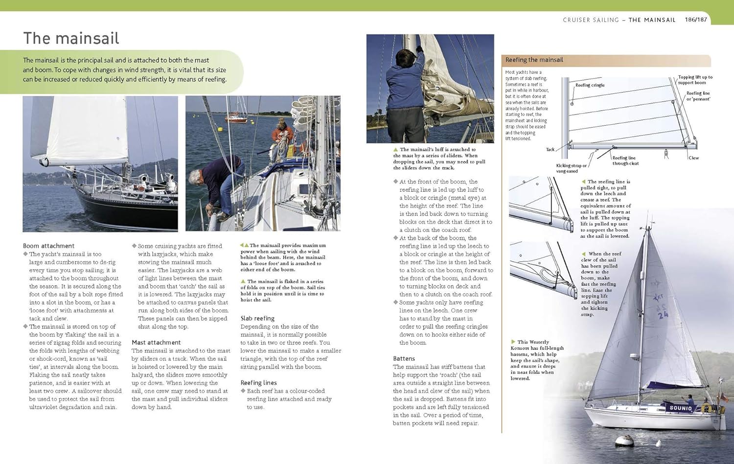
"Sailing is a popular sport and this book is a very comprehensive treatment of the subject.... The volume is well illustrated with color photographs [and] this reviewer was impressed by the constant stress the authors place on safety at sea.... This title is recommended for general reference collections."
--American Reference Books Annual
The Sailing Bible is for all sailors, whatever their level of experience. It provides novice sailors with all that they need to take to the water and helps experienced sailors improve their skills and deepen their knowledge. Instruction ranges from learning the anatomy of a boat to handling emergencies. An extraordinary amount of sound advice and expert tips will help all sailors to build their skills and knowledge, and help to ensure safety and increase enjoyment on the water.
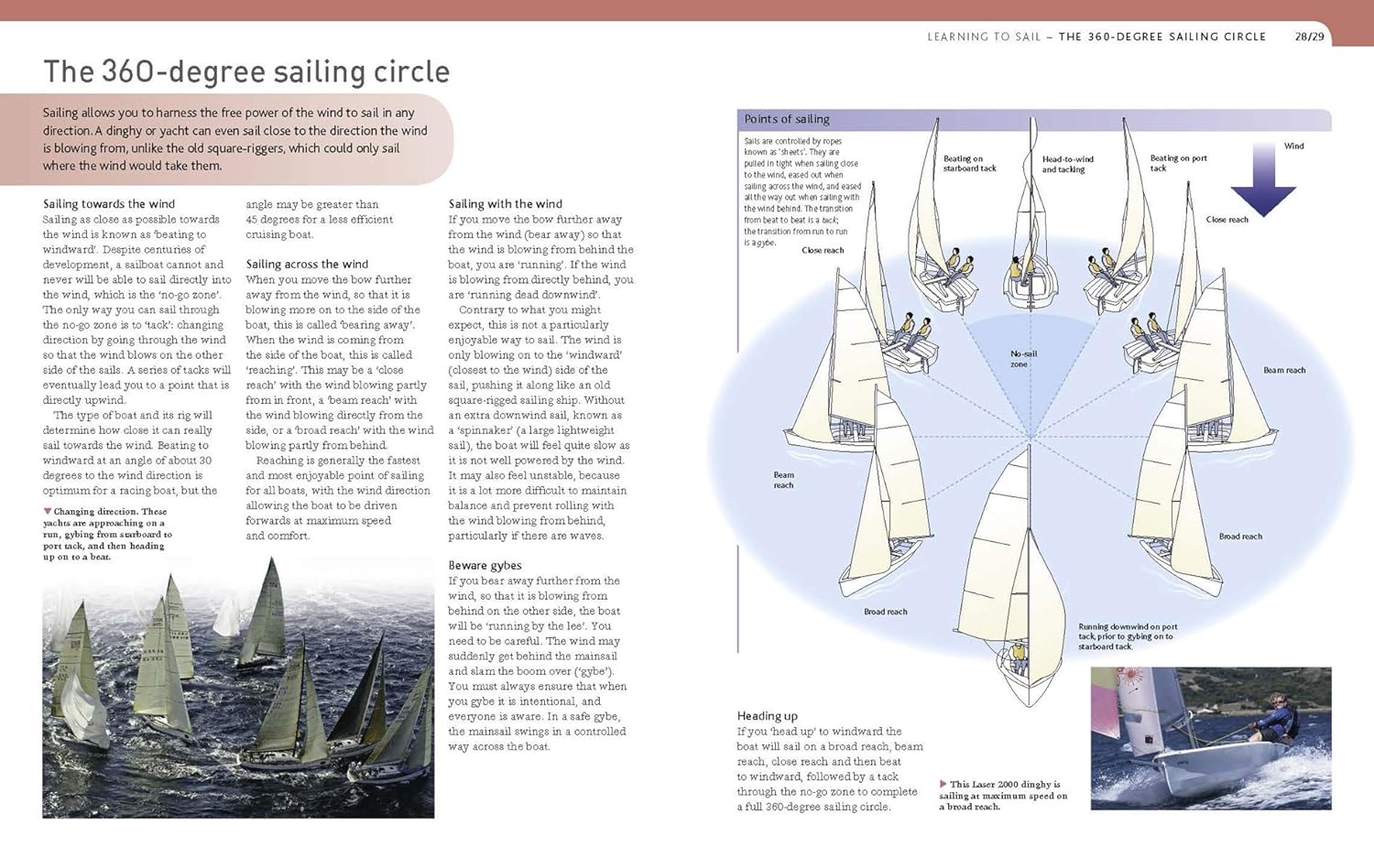
This second edition has been revised to include updated maps and charts and current information on GPS and other factors related to navigation. The book's eight chapters cover a comprehensive range of more than 150 beginner to advanced topics for all sailors. The material covered includes:
- Dinghies and yachts
- Cruising and racing
- Launching, helming, trapezing and capsizing
- Racing techniques and tactics
- Buoys, tides, charts and navigation
- Anchoring and marina berthing
- Knots, ropes and flags
- Boat etiquette and seamanship
- Safety and emergencies and much more.
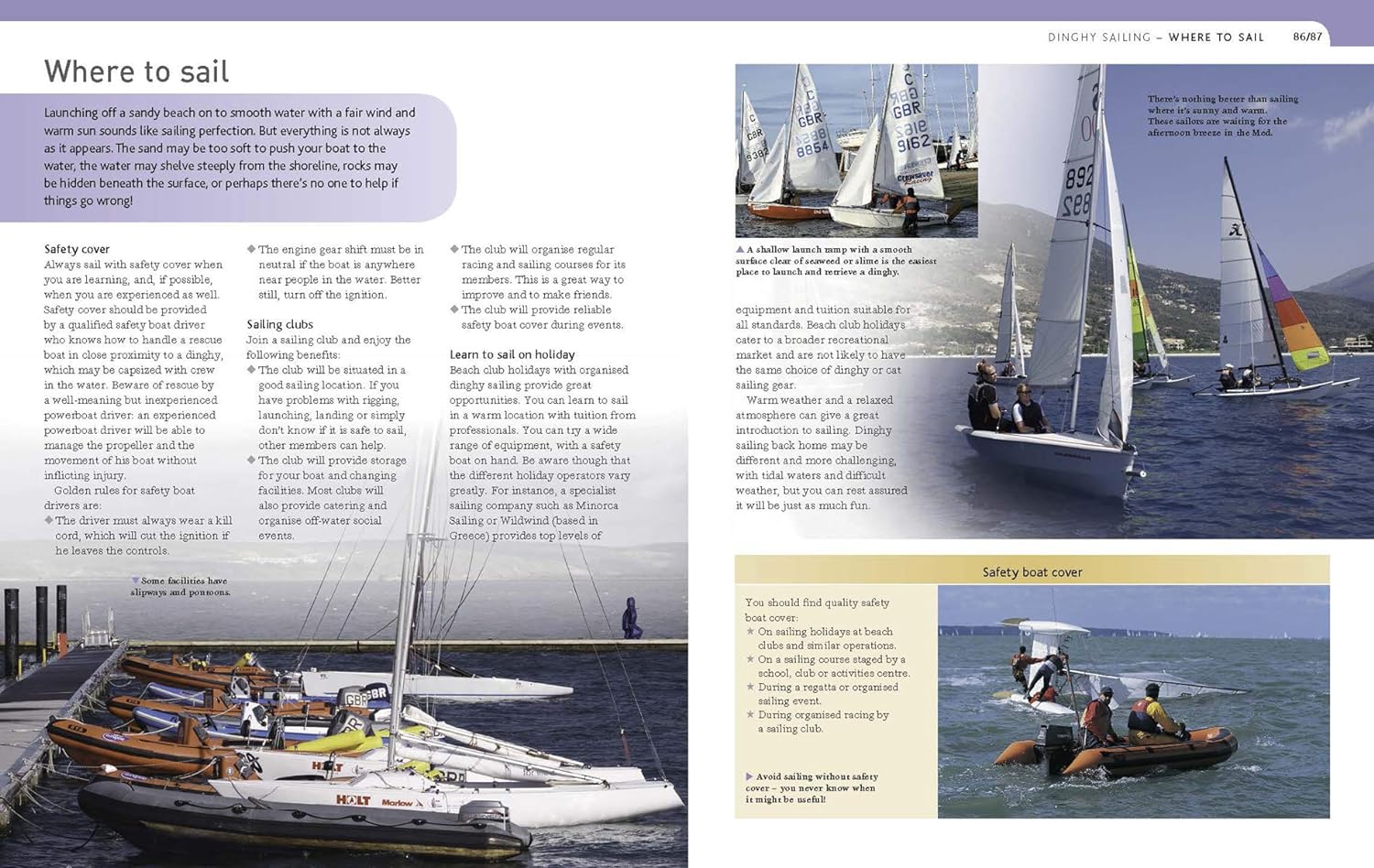
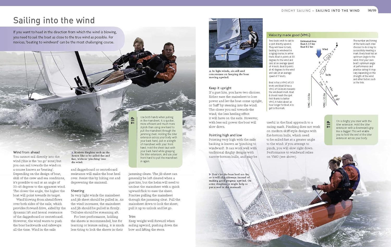
Hundreds of color photographs, explanatory drawings and navigation charts illustrate and further explain the important content. Call-out boxes and sidebars highlight information for easy reference and serve as reminders to the sailor.
The Sailing Bible is the most comprehensive guide to the exciting sport of sailing. Fully updated and exceptionally well-priced, it is the ideal choice as a reference to keep onboard, as a resource in preparation for certification or as a practical gift for a new sailor of any age.
Specifications
Material Options
 Our paper charts are printed on high resolution, heavyweight, water-resistant paper, using state of the art printing technology. The paper and printing process has been certified by NOAA and deemed to be suitable to withstand the rigors of use in the marine environment. FULL SIZED PAPER CHARTS ARE CERTIFIED FOR CARRIAGE ABOARD COMMERCIAL VESSELS |
 Our waterproof charts are printed on a TIP: If you plan to frame or laminate a chart using heat, then do not choose waterproof because the material can melt under heat. FULL SIZED WATERPROOF CHARTS ARE CERTIFIED FOR CARRIAGE ABOARD COMMERCIAL VESSELS |
Size Options |
|
|
|
 These are up-to-date, NOAA charts simply enlarged in size so that the small dimension of the chart is 42”, the long dimension is proportionally enlarged. These charts are printed beyond full size, therefore the scale is not the same as the full size NOAA chart, however the scale bars on the charts are proportionally enlarged in size, and can be used for reference. LARGE FORMAT CHARTS ARE NOT CERTIFIED FOR CARRIAGE ABOARD COMMERCIAL VESSELS |
Other Options |
|
|
|
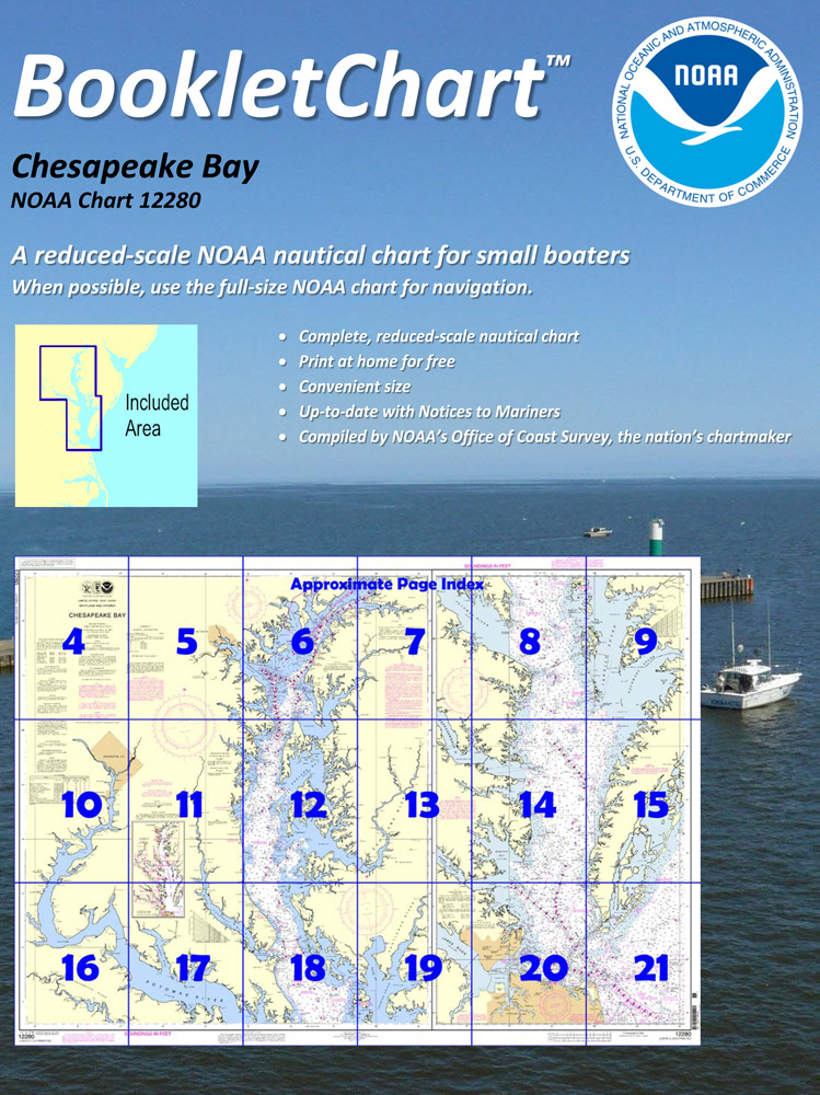
 Made to help recreational boaters locate themselves on the water. It has been reduced in scale for convenience, but otherwise contains all the information of the full-scale nautical chart. The bar scales have also been reduced, and are accurate when used to measure distances in these BookletCharts. • Professionally printed and staple-bound using high quality, durable paper. • Includes Notices to Mariners • Printed on-demand with the latest data from NOAA BOOKLET CHARTS ARE NOT CERTIFIED FOR CARRIAGE ABOARD COMMERCIAL VESSELS |
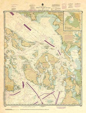 |
This is a unique line of decorative charts prepared by Paradise Cay Publications.
The short side of the chart is always printed at 36" and the long side will vary depending on the chart - please do not order framing prior to receiving the chart. These will memorialize your favorite coastal area in vintage style and we have added to the standard border of the typical NOAA chart to allow for a more professional, frame-ready presentation. DECORATIVE CHARTS ARE NOT CERTIFIED FOR CARRIAGE ABOARD COMMERCIAL VESSELS |
