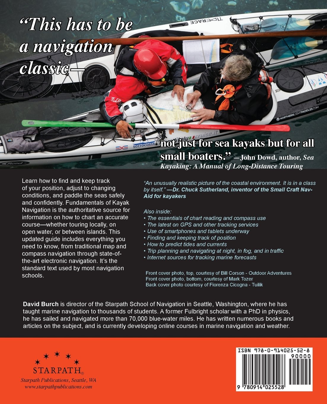
For the past 30 years, this book has been the authoritative source for all matters of small-boat navigation. Learn how to find and keep track of your position, adjust to changing conditions, and paddle the seas safely and confidently. Includes how to chart an accurate course and maintain it underway whether touring locally, on open water, or between islands. This updated text includes everything you need to know, from traditional map and compass navigation through state-of-the-art electronic navigation. Knowledge gained here will enhance the safety and efficiency of any outing.
If you are a sea kayaker or long-distance paddler of any craft, this is definitely a book to have and to study. Most kayak instructors nationwide would agree. It covers the principles of navigation that are pertinent to kayaks in clear practical terms, with special emphasis on the effects of wind and current. Piloting techniques are distilled down to those that can be done from the seat of a kayak.
The treatment of tides and currents is more thorough in this book than in most others on the market, especially when it comes to reading the water to interpret currents and for estimating the effects of wind on progress to weather. There are also convenient tricks included such as how to quickly predict the current at times between peak flow and slack that do not appear in other books.
The section on the Navigation Rules is a unique treatment of the subject that applies to all self-powered craft, including canoes and paddle boarders, as it addresses the issues and rules that pertain to all vessels, being "every description of watercraft used or capable of being used as a means of transportation on water." This is an important perspective to keep in mind, even for sailors and power boaters, as it brings to the front the basics that underlie the details. Who has right of way in specific circumstances is a detail; evaluating risk of collision is a basic, and so on.
Updates in the Revised Edition include reports on progress of the print on demand charts (gets A+); new developments in echarts and how this affects latest nav apps; and updates on technology, including, believe it or not, an actual AIS receiver the size of two 9V batteries that is perfectly usable in a kayak viewing the live traffic signals on an Android app in a phone. There are also many important developments in external battery packs, which are needed when navigating by a phone or tablet. All of the online links in the book are updated, as well as the rest of the references cited. The online support and resources page at starpath.com/kayaknav has been expanded."
Specifications
Material Options
 Our paper charts are printed on high resolution, heavyweight, water-resistant paper, using state of the art printing technology. The paper and printing process has been certified by NOAA and deemed to be suitable to withstand the rigors of use in the marine environment. FULL SIZED PAPER CHARTS ARE CERTIFIED FOR CARRIAGE ABOARD COMMERCIAL VESSELS |
 Our waterproof charts are printed on a TIP: If you plan to frame or laminate a chart using heat, then do not choose waterproof because the material can melt under heat. FULL SIZED WATERPROOF CHARTS ARE CERTIFIED FOR CARRIAGE ABOARD COMMERCIAL VESSELS |
Size Options |
|
|
|
 These are up-to-date, NOAA charts simply enlarged in size so that the small dimension of the chart is 42”, the long dimension is proportionally enlarged. These charts are printed beyond full size, therefore the scale is not the same as the full size NOAA chart, however the scale bars on the charts are proportionally enlarged in size, and can be used for reference. LARGE FORMAT CHARTS ARE NOT CERTIFIED FOR CARRIAGE ABOARD COMMERCIAL VESSELS |
Other Options |
|
|
|
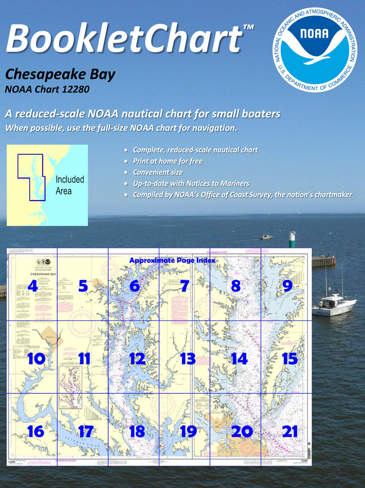
 Made to help recreational boaters locate themselves on the water. It has been reduced in scale for convenience, but otherwise contains all the information of the full-scale nautical chart. The bar scales have also been reduced, and are accurate when used to measure distances in these BookletCharts. • Professionally printed and staple-bound using high quality, durable paper. • Includes Notices to Mariners • Printed on-demand with the latest data from NOAA BOOKLET CHARTS ARE NOT CERTIFIED FOR CARRIAGE ABOARD COMMERCIAL VESSELS |
 |
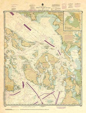
This is a unique line of decorative charts prepared by Paradise Cay Publications.
The short side of the chart is always printed at 36" and the long side will vary depending on the chart - please do not order framing prior to receiving the chart. These will memorialize your favorite coastal area in vintage style and we have added to the standard border of the typical NOAA chart to allow for a more professional, frame-ready presentation. DECORATIVE CHARTS ARE NOT CERTIFIED FOR CARRIAGE ABOARD COMMERCIAL VESSELS |


