World Cruising Routes: 9th edition [CLONE]

$79.95
JCS016
Add to Favorites
Described as the bible of cruising sailors, World Cruising Routes is the definitive reference book for long-distance navigators. This completely revised and updated edition has drawn on the latest weather information and other recent developments to provide the most comprehensive aid to planning a safe voyage to any part of the world. With over 1,000 sailing routes in all the oceans of the world, from the tropics to the high latitudes of the Arctic and Antarctic, it contains essential information on winds, currents, regional and seasonal weather, as well as optimum times for individual passages. This edition has been fully updated to reflect the recent changes in global weather conditions. Geared specifically to the needs of offshore navigators, this ninth edition assesses the consequences of climate change on sailing routes and provides over 6,000 waypoints to facilitate the planning of individual passages. Much of the information contained in the book was gathered during the author’s three circumnavigations and voyages to Antarctica and the Northwest Passage. World Cruising Routes is the perfect one-stop reference for planning a voyage anywhere in the world. It is a companion volume to both World Voyage Planner, which offers invaluable planning strategies and advice on long-distance voyaging, and World Cruising Destinations, which gives practical information on all the maritime nations of the world, with details of their main cruising attractions, climate, formalities, marinas, repair facilities, charter operators, cruising guides and relevant websites Jimmy Cornell has influenced the contemporary cruising scene more than any other sailor. An accomplished sailor, public speaker and author, he has sailed over 200,000 miles in all oceans of the world, from Antarctica to the Arctic – including three circumnavigations – and has written some of the bestselling nautical books in the world, many of which have been translated into several languages. Thousands of sailors have fulfilled their dreams of blue-water cruising with the help of Jimmy’s books, or as participants in his rallies. The founder of the highly successful ARC transatlantic rally, he is credited with having devised the offshore cruising rally concept, and in the last three decades has organised 33 transatlantic rallies, five round-the-world rallies and a round-the-world race, together involving over 3,000 boats and 15,000 sailors. Regular updates on all Jimmy Cornell’s books and events are listed on his website: www.cornellsailing.com

Specifications

Format:
Flexicover
Author:
Jimmy Cornell
Pages:
620 pages
Dimensions (IN):
7.5 x 9.5
ISBN:
9781916091030
Supplier/Publisher:
Cornell Sailing
Date Added:
Feb 2022
Published Date:
2022

Material Options

PAPER CHARTS

Our paper charts are printed on high resolution, heavyweight, water-resistant paper, using state of the art printing technology. The paper and printing process has been certified by NOAA and deemed to be suitable to withstand the rigors of use in the marine environment.

FULL SIZED PAPER CHARTS ARE CERTIFIED FOR CARRIAGE ABOARD COMMERCIAL VESSELS
WATERPROOF CHARTS

Our waterproof charts are printed on a
very durable, extremely tear resistant,
waterproof material using state of the art
printing technology. The waterproof
material accepts pencil markings well and
also erases well. The paper and printing process has been certified by NOAA and deemed to be suitable to withstand the
rigors of use in the marine environment.

TIP: If you plan to frame or laminate a chart using heat, then do not choose waterproof because the material can melt under heat.

FULL SIZED WATERPROOF CHARTS ARE CERTIFIED FOR CARRIAGE ABOARD COMMERCIAL VESSELS

 Size Options


SMALL FORMAT CHARTS
These are up-to-date, NOAA charts simply
reduced in size so that the small dimension of the chart is 21”, the long dimension is proportionally reduced. These charts are not printed to full size, therefore the scale is not the same as the full size NOAA chart, however the scale bars on the charts are proportionally reduced in size, and can be used for reference. These charts are not recommended for navigation.

SMALL FORMAT CHARTS ARE NOT CERTIFIED FOR CARRIAGE ABOARD COMMERCIAL VESSELS


These are up-to-date, NOAA charts simply enlarged in size so that the small dimension of the chart is 42”, the long dimension is proportionally enlarged. These charts are printed beyond full size, therefore the scale is not the same as the full size NOAA chart, however the scale bars on the charts are proportionally enlarged in size, and can be used for reference.

LARGE FORMAT CHARTS ARE NOT CERTIFIED FOR CARRIAGE ABOARD COMMERCIAL VESSELS

Other Options


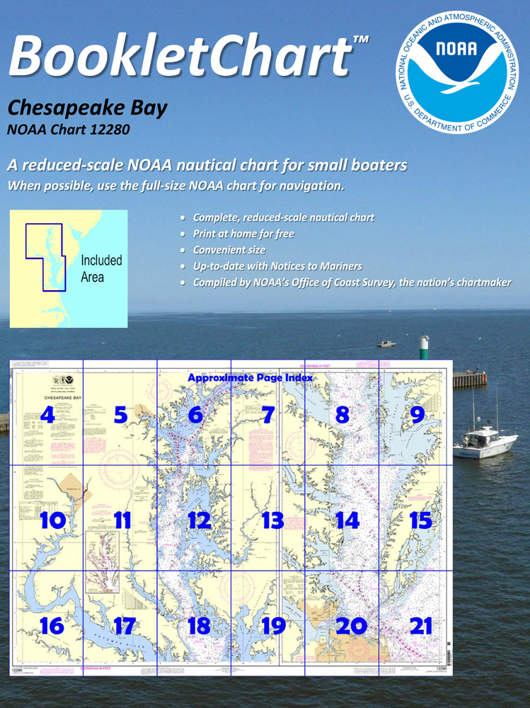
BOOKLET CHARTS

Made to help recreational boaters locate themselves on the water. It has been reduced in scale for convenience, but otherwise contains all the information of the full-scale nautical chart. The bar scales have also been reduced, and are accurate when used to measure distances in these BookletCharts.

• Professionally printed and staple-bound using high quality, durable paper.

• Includes Notices to Mariners

• Printed on-demand with the latest data from NOAA

BOOKLET CHARTS ARE NOT CERTIFIED FOR CARRIAGE ABOARD COMMERCIAL VESSELS


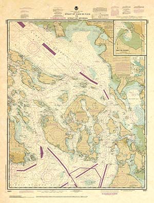
DECORATIVE ANTIQUED CHARTS

This is a unique line of decorative charts prepared by Paradise Cay Publications.

  • This is an art piece prepared with the look of a well-used chart with the patina of antique parchment.
  • Printed on our high-quality heavy paper.
  • We have added an additional border to allow for framing.
  • Shipped rolled, never folded.

The short side of the chart is always printed at 36" and the long side will vary depending on the chart - please do not order framing prior to receiving the chart. These will memorialize your favorite coastal area in vintage style and we have added to the standard border of the typical NOAA chart to allow for a more professional, frame-ready presentation.

DECORATIVE CHARTS ARE NOT CERTIFIED FOR CARRIAGE ABOARD COMMERCIAL VESSELS