Cart is empty
The Ultimate Guide to Navigating without a Compass: How to Find Your Way Using the Sun, Stars, and Other Natural Methods
Learn how to navigate without a compass, even when it seems impossible!
Whether we are walking or driving, whether in the woods, on the water, or in the city, it’s vital that we know where we are and are able to find our way around. But with society’s current dependence on modern tools and technology, many persons would have no idea how to navigate without a compass or GPS. In an emergency situation, that lack of knowledge could easily prove fatal.
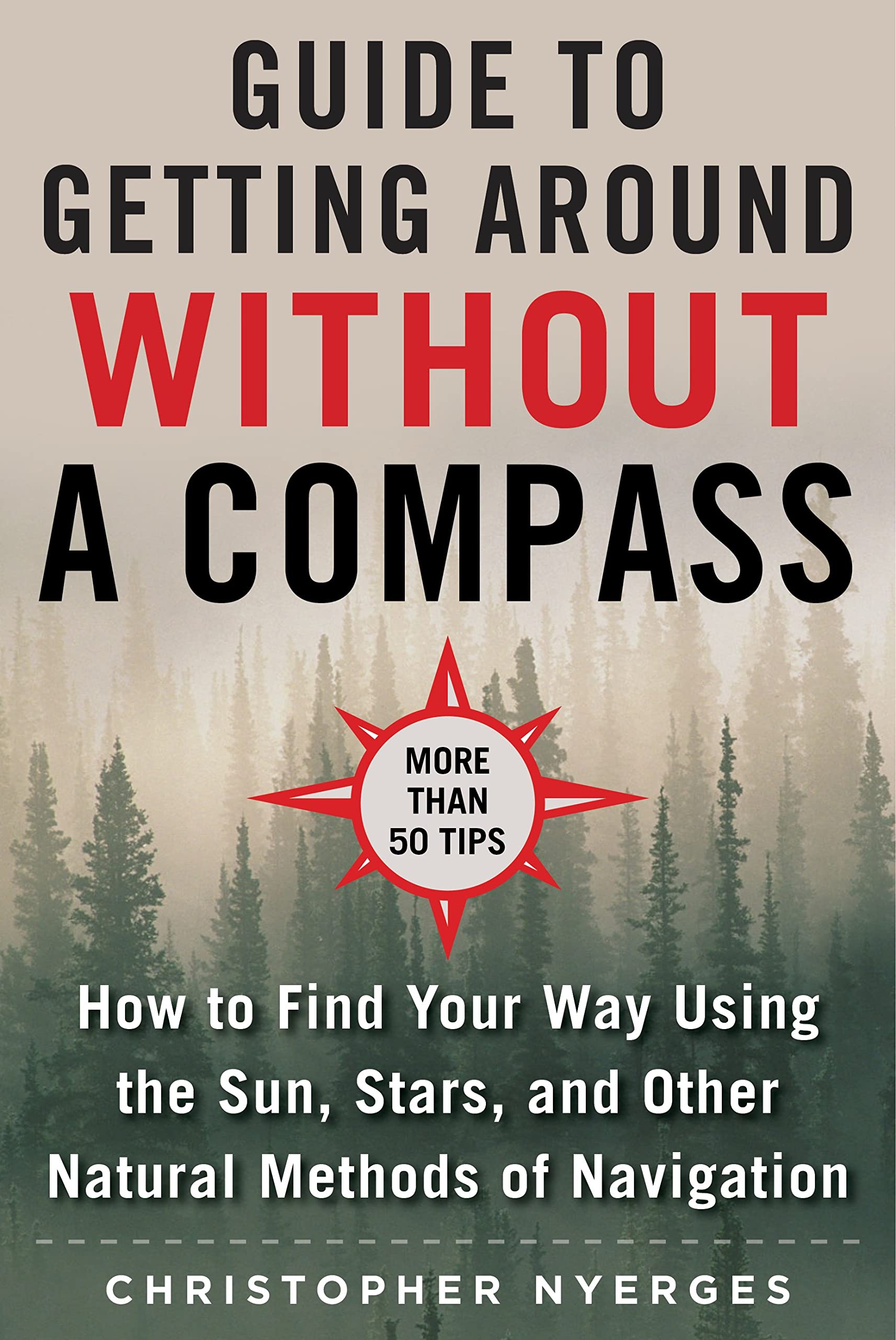
In The Ultimate Guide to Navigating without a Compass, survival expert Christopher Nyerges provides readers with all the skills that they may need to navigate naturally. The book begins by describing the meaning of natural navigation, and then moves on to describe, in detail, the methods of natural navigation, including using the sun, the stars, the moon, and shadows. Additional topics include:
With helpful diagrams, illustrations, and sidebars, The Ultimate Guide to Navigating without a Compass is the fundamental reference book for learning how to navigate by natural methods.
Whether we are walking or driving, whether in the woods, on the water, or in the city, it’s vital that we know where we are and are able to find our way around. But with society’s current dependence on modern tools and technology, many persons would have no idea how to navigate without a compass or GPS. In an emergency situation, that lack of knowledge could easily prove fatal.
In The Ultimate Guide to Navigating without a Compass, survival expert Christopher Nyerges provides readers with all the skills that they may need to navigate naturally. The book begins by describing the meaning of natural navigation, and then moves on to describe, in detail, the methods of natural navigation, including using the sun, the stars, the moon, and shadows. Additional topics include:
- How to read a map
- How to make a sun dial
- How to make a star dial
- How to use clouds to predict weather patterns
- How to track celestial changes
- How to gauge time through natural observation
- And much more!
With helpful diagrams, illustrations, and sidebars, The Ultimate Guide to Navigating without a Compass is the fundamental reference book for learning how to navigate by natural methods.
Specifications
Dimensions (IN):
6 x 9
Pages:
168 pages
Author:
Christopher Nyerges
Supplier/Publisher:
Skyhorse
Published Date:
2020
ISBN:
9781510749900
Date Added:
Nov 2022
Format:
Paperback
Material Options
 Our paper charts are printed on high resolution, heavyweight, water-resistant paper, using state of the art printing technology. The paper and printing process has been certified by NOAA and deemed to be suitable to withstand the rigors of use in the marine environment. FULL SIZED PAPER CHARTS ARE CERTIFIED FOR CARRIAGE ABOARD COMMERCIAL VESSELS |
 Our waterproof charts are printed on a TIP: If you plan to frame or laminate a chart using heat, then do not choose waterproof because the material can melt under heat. FULL SIZED WATERPROOF CHARTS ARE CERTIFIED FOR CARRIAGE ABOARD COMMERCIAL VESSELS |
Size Options |
|
|
|
 These are up-to-date, NOAA charts simply enlarged in size so that the small dimension of the chart is 42”, the long dimension is proportionally enlarged. These charts are printed beyond full size, therefore the scale is not the same as the full size NOAA chart, however the scale bars on the charts are proportionally enlarged in size, and can be used for reference. LARGE FORMAT CHARTS ARE NOT CERTIFIED FOR CARRIAGE ABOARD COMMERCIAL VESSELS |
Other Options |
|
|
|
 Made to help recreational boaters locate themselves on the water. It has been reduced in scale for convenience, but otherwise contains all the information of the full-scale nautical chart. The bar scales have also been reduced, and are accurate when used to measure distances in these BookletCharts. • Professionally printed and staple-bound using high quality, durable paper. • Includes Notices to Mariners • Printed on-demand with the latest data from NOAA BOOKLET CHARTS ARE NOT CERTIFIED FOR CARRIAGE ABOARD COMMERCIAL VESSELS |
 |
This is a unique line of decorative charts prepared by Paradise Cay Publications.
The short side of the chart is always printed at 36" and the long side will vary depending on the chart - please do not order framing prior to receiving the chart. These will memorialize your favorite coastal area in vintage style and we have added to the standard border of the typical NOAA chart to allow for a more professional, frame-ready presentation. DECORATIVE CHARTS ARE NOT CERTIFIED FOR CARRIAGE ABOARD COMMERCIAL VESSELS |


No reviews found
