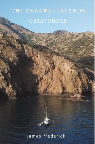
This is the first extensive cruising guide covering the Channel Islands to be published since Brian Fagan’s Cruising Guide to Southern California's Offshore Islands. Fagan’s book remains to be the gold standard for comprehensive coverage of the Channel Island’s. Frederick’s new cruising guide encourages sailors to use his guide alongside Fagan’s book and has put together a guide that takes a new angle:
“I have taken a completely different approach with writing this cruising guide. I am assuming that the reader not only has Brian Fagen’s “Cruising Guide to Southern California’s Channel Islands” and Marc Hughston’s “Anchoring at Catalina; No Moorings? No Problem” on board but also uses either a traditional chart plotter or an app such as Navionics running on a smartphone or tablet. All of the anchorages listed in this guide I navigated into, around and out of with Navionics running on my iPad.
I have chosen to just give you the basics regarding the details about the anchorages and focus more on my experiences at the anchorages themselves. I understand why most cruising guides omit personal experiences (as the old saying goes “You can never visit the same anchorage twice”) and only print the known and agreed upon facts. But I have found that first-hand accounts from other cruising sailors have always helped me when it came to not only choosing an anchorage to visit, but what to expect once there based on the stories that had been told to me. There are countless anchorages I have only visited because another sailor suggested it, some of which were not noted on charts or in cruising guides, and I have always been pleasantly surprised.
So this cruising guide is a collection of my logs, photographs and general information that was published for the sole purpose of inspiring you to seek out new places you have yet to see. The islands are waiting, the rest is up to you! “
Frederick’s Cruising Guide to the Channel Islands is packed with 200 illustrations, charts and full color photographs. The guide covers 27 anchorages from 5 different islands with firsthand accounts over 190 pages printed in perfect bound paperback.
Specifications
Material Options
 Our paper charts are printed on high resolution, heavyweight, water-resistant paper, using state of the art printing technology. The paper and printing process has been certified by NOAA and deemed to be suitable to withstand the rigors of use in the marine environment. FULL SIZED PAPER CHARTS ARE CERTIFIED FOR CARRIAGE ABOARD COMMERCIAL VESSELS |
 Our waterproof charts are printed on a TIP: If you plan to frame or laminate a chart using heat, then do not choose waterproof because the material can melt under heat. FULL SIZED WATERPROOF CHARTS ARE CERTIFIED FOR CARRIAGE ABOARD COMMERCIAL VESSELS |
Size Options |
|
|
|
 These are up-to-date, NOAA charts simply enlarged in size so that the small dimension of the chart is 42”, the long dimension is proportionally enlarged. These charts are printed beyond full size, therefore the scale is not the same as the full size NOAA chart, however the scale bars on the charts are proportionally enlarged in size, and can be used for reference. LARGE FORMAT CHARTS ARE NOT CERTIFIED FOR CARRIAGE ABOARD COMMERCIAL VESSELS |
Other Options |
|
|
|
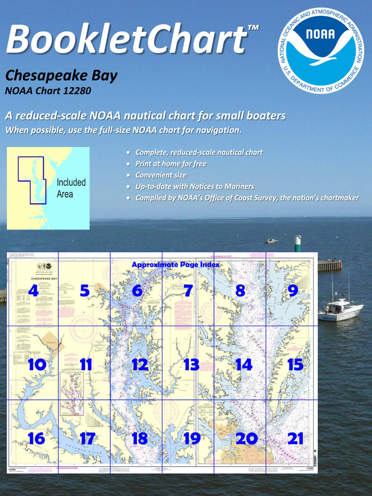
 Made to help recreational boaters locate themselves on the water. It has been reduced in scale for convenience, but otherwise contains all the information of the full-scale nautical chart. The bar scales have also been reduced, and are accurate when used to measure distances in these BookletCharts. • Professionally printed and staple-bound using high quality, durable paper. • Includes Notices to Mariners • Printed on-demand with the latest data from NOAA BOOKLET CHARTS ARE NOT CERTIFIED FOR CARRIAGE ABOARD COMMERCIAL VESSELS |
 |
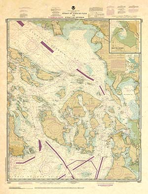
This is a unique line of decorative charts prepared by Paradise Cay Publications.
The short side of the chart is always printed at 36" and the long side will vary depending on the chart - please do not order framing prior to receiving the chart. These will memorialize your favorite coastal area in vintage style and we have added to the standard border of the typical NOAA chart to allow for a more professional, frame-ready presentation. DECORATIVE CHARTS ARE NOT CERTIFIED FOR CARRIAGE ABOARD COMMERCIAL VESSELS |


