The Art of Seamanship: Evolving Skills, Exploring Oceans, and Handling Wind, Waves, and Weather

$50.00
INT495
Add to Favorites
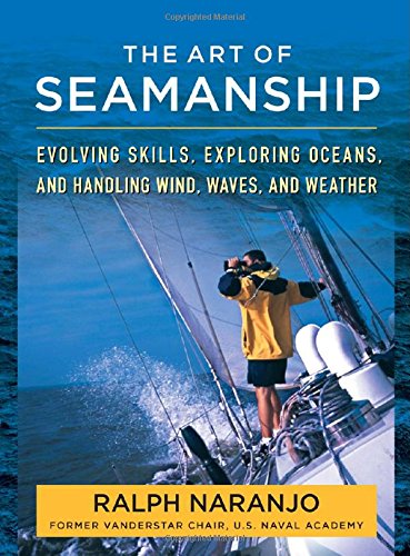
Wind, waves, weather, and water demand the practiced art of seamanship "Planning and reacting to the unanticipated are the flip sides of seamanship. This blending of pre-voyage preparedness with effective on-the-water response is learned rather than inherent--together they define the art of seamanship." -- Author RALPH NARANJO Each time a sailboat casts off its docklines the sailor enters a marine realm that demands knowledge, preparedness, vigilance, and coolheadedness--these qualities are the foundation of good seamanship. Both an art as well as a science, seamanship is also the mastery of numerous practical details, from the best choice of line for a jib sheet to an accurate assessment of the passage of a deep low-pressure system. Around-the-world sailor Ralph Naranjo--technical expert, ocean racer, former Vanderstar Chair at the U.S. Naval Academy--delivers a priceless reference for anything that comes up while on the water, sharing all the knowledge today's sailors need to "hand, reef, and steer"--an enduring reference to the collective skills of the bluewater sailor. Naranjo's vast knowledge is supported by real-life examples of sailing mishaps, sample itineraries, vibrant photos, as well as first-hand accounts and sidebars from top sailors and marine experts, including Shelia McCurdy, Chuck Hawley, Lee Chesneau, and Paul Miller, N.A. Seamanship is a dynamic art, demanding full attention from the sailor amidst a constant flow of information and knowledge. The Art of Seamanship will improve your problem-solving skills, whether daysailing around the harbor or voyaging around the world. You'll learn: The attributes of a good skipper and crew—including physical and mental agility, effective communication, and knowledge-based decision making Fine-tuning your voyaging with the seaworthiness of your boat and the capability of your crew in mind Using weather information and routing resources to lower risks and raise rewards Developing advanced boat-handling skills—including heaving-to, towing a drogue, reefing, setting storm sails, and kedging Lines, line handling, and rigging--making sure the right strings are attached, including an in-depth look at modern rope construction Anchoring--the art of staying put--with a realistic look at tackle from lunch hooks to storm anchors Sails, modern sail material, sail trim, sail handling, and hardware, from hanked-on headsails to the latest top-down furlers Navigating in the satellite age, including paper and digital chartplotting, how to best use the new equipment, plus understanding the role of celestial navigation as a fail-safe Sailboat design and dynamics, including the role of vessel structure and stability and a look at what your current boat has to offer and what to look for in a new boat Sharing crowded waters and understanding the reasons behind the "rules of the road" How to be ready for any emergency, including fire, crew overboard, a flooding bilge, or the need to abandon ship Establishing reliable communication, including VHF, AIS, SSB, satellite phones, and beacon signaling (EPIRBS, PLBS)

Specifications

Format:
Hardcover
Author:
Ralph Naranjo
Pages:
544 pages
ISBN:
9780071493420
Supplier/Publisher:
McGraw Hill/ International Marine
Published Date:
2014

Material Options

PAPER CHARTS

Our paper charts are printed on high resolution, heavyweight, water-resistant paper, using state of the art printing technology. The paper and printing process has been certified by NOAA and deemed to be suitable to withstand the rigors of use in the marine environment.

FULL SIZED PAPER CHARTS ARE CERTIFIED FOR CARRIAGE ABOARD COMMERCIAL VESSELS
WATERPROOF CHARTS

Our waterproof charts are printed on a
very durable, extremely tear resistant,
waterproof material using state of the art
printing technology. The waterproof
material accepts pencil markings well and
also erases well. The paper and printing process has been certified by NOAA and deemed to be suitable to withstand the
rigors of use in the marine environment.

TIP: If you plan to frame or laminate a chart using heat, then do not choose waterproof because the material can melt under heat.

FULL SIZED WATERPROOF CHARTS ARE CERTIFIED FOR CARRIAGE ABOARD COMMERCIAL VESSELS

 Size Options


SMALL FORMAT CHARTS
These are up-to-date, NOAA charts simply
reduced in size so that the small dimension of the chart is 21”, the long dimension is proportionally reduced. These charts are not printed to full size, therefore the scale is not the same as the full size NOAA chart, however the scale bars on the charts are proportionally reduced in size, and can be used for reference. These charts are not recommended for navigation.

SMALL FORMAT CHARTS ARE NOT CERTIFIED FOR CARRIAGE ABOARD COMMERCIAL VESSELS


These are up-to-date, NOAA charts simply enlarged in size so that the small dimension of the chart is 42”, the long dimension is proportionally enlarged. These charts are printed beyond full size, therefore the scale is not the same as the full size NOAA chart, however the scale bars on the charts are proportionally enlarged in size, and can be used for reference.

LARGE FORMAT CHARTS ARE NOT CERTIFIED FOR CARRIAGE ABOARD COMMERCIAL VESSELS

Other Options


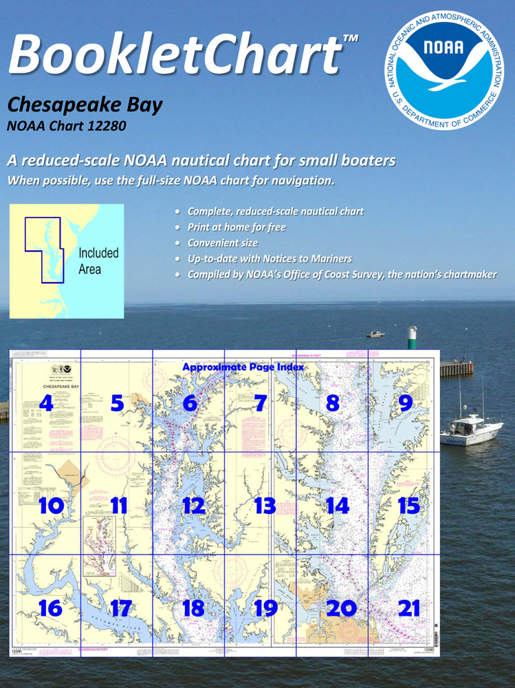
BOOKLET CHARTS

Made to help recreational boaters locate themselves on the water. It has been reduced in scale for convenience, but otherwise contains all the information of the full-scale nautical chart. The bar scales have also been reduced, and are accurate when used to measure distances in these BookletCharts.

• Professionally printed and staple-bound using high quality, durable paper.

• Includes Notices to Mariners

• Printed on-demand with the latest data from NOAA

BOOKLET CHARTS ARE NOT CERTIFIED FOR CARRIAGE ABOARD COMMERCIAL VESSELS


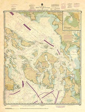
DECORATIVE ANTIQUED CHARTS

This is a unique line of decorative charts prepared by Paradise Cay Publications.

  • This is an art piece prepared with the look of a well-used chart with the patina of antique parchment.
  • Printed on our high-quality heavy paper.
  • We have added an additional border to allow for framing.
  • Shipped rolled, never folded.

The short side of the chart is always printed at 36" and the long side will vary depending on the chart - please do not order framing prior to receiving the chart. These will memorialize your favorite coastal area in vintage style and we have added to the standard border of the typical NOAA chart to allow for a more professional, frame-ready presentation.

DECORATIVE CHARTS ARE NOT CERTIFIED FOR CARRIAGE ABOARD COMMERCIAL VESSELS