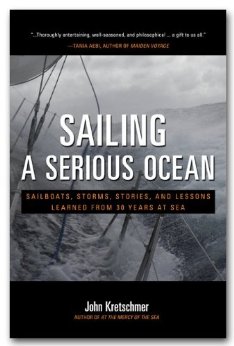
"I know you'll want to read more after you finish Sailing a Serious Ocean. And be warned, you'll very likely want to sail with John, perhaps across an ocean." -- DALLAS MURPHY, AUTHOR OF ROUNDING THE HORN
After sailing 300,000 miles and weathering dozens of storms in all the world's oceans, John Kretschmer has plenty of stories and advice to share. John's offshore training passages sell out a year in advance and his entertaining presentations are popular at boat shows and yacht clubs all over the English speaking world. John's talent for storytelling enchants his audience as it soaks up the lessons he learned during his oftenchallenging voyages. Now you can take a seat next to John--at a lesser cost--and get the knowledge you need to fulfill your own dream of blue-water adventure.
In Sailing a Serious Ocean, John tells you what to expect when sailing the oceans and shows how to sail safely across them. His tales of storm encounters and other examples of extreme seamanship will help you prepare for your journey and give you confidence to handle any situation―even heavy weather. Through his personal stories, John will guide you through the whole process of choosing the right boat, outfitting with the right gear, planning your route, navigating the ocean, and understanding the nuances of life at sea.
Our oceans are beautiful yet unpredictable―water that is at one moment a natural mirror for the glowing sun can turn into a foamy, raging wall of fury. John knows our oceans, and he is one of the best teachers of taming and enjoying them. Before you set off across the big blue, turn to John for his inspirational stories and hard-learned advice and discover the serious sailor in you.
Specifications
Material Options
 Our paper charts are printed on high resolution, heavyweight, water-resistant paper, using state of the art printing technology. The paper and printing process has been certified by NOAA and deemed to be suitable to withstand the rigors of use in the marine environment. FULL SIZED PAPER CHARTS ARE CERTIFIED FOR CARRIAGE ABOARD COMMERCIAL VESSELS |
 Our waterproof charts are printed on a TIP: If you plan to frame or laminate a chart using heat, then do not choose waterproof because the material can melt under heat. FULL SIZED WATERPROOF CHARTS ARE CERTIFIED FOR CARRIAGE ABOARD COMMERCIAL VESSELS |
Size Options |
|
|
|
 These are up-to-date, NOAA charts simply enlarged in size so that the small dimension of the chart is 42”, the long dimension is proportionally enlarged. These charts are printed beyond full size, therefore the scale is not the same as the full size NOAA chart, however the scale bars on the charts are proportionally enlarged in size, and can be used for reference. LARGE FORMAT CHARTS ARE NOT CERTIFIED FOR CARRIAGE ABOARD COMMERCIAL VESSELS |
Other Options |
|
|
|
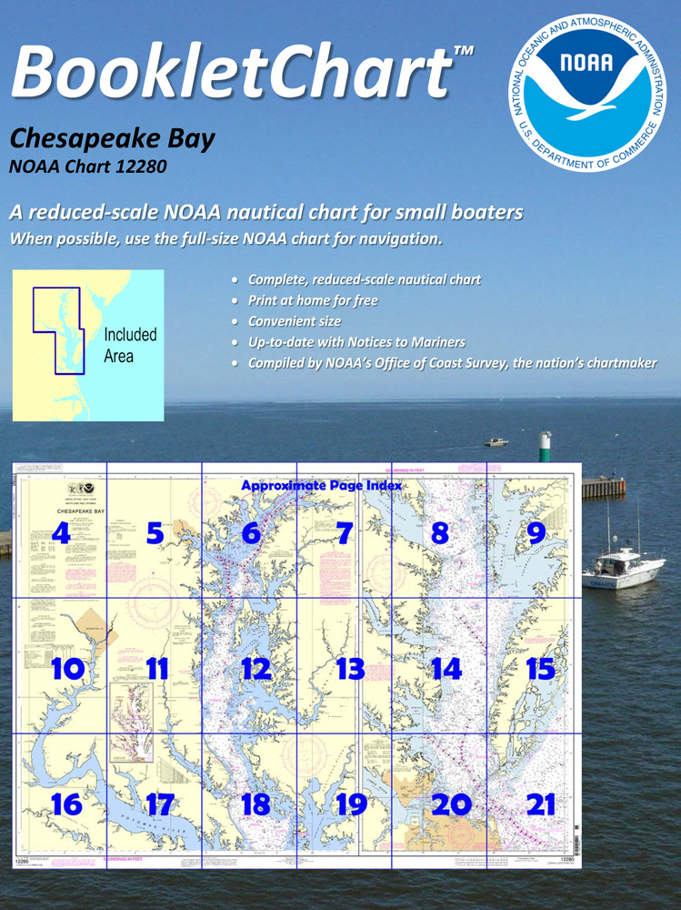
 Made to help recreational boaters locate themselves on the water. It has been reduced in scale for convenience, but otherwise contains all the information of the full-scale nautical chart. The bar scales have also been reduced, and are accurate when used to measure distances in these BookletCharts. • Professionally printed and staple-bound using high quality, durable paper. • Includes Notices to Mariners • Printed on-demand with the latest data from NOAA BOOKLET CHARTS ARE NOT CERTIFIED FOR CARRIAGE ABOARD COMMERCIAL VESSELS |
 |
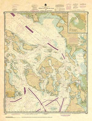
This is a unique line of decorative charts prepared by Paradise Cay Publications.
The short side of the chart is always printed at 36" and the long side will vary depending on the chart - please do not order framing prior to receiving the chart. These will memorialize your favorite coastal area in vintage style and we have added to the standard border of the typical NOAA chart to allow for a more professional, frame-ready presentation. DECORATIVE CHARTS ARE NOT CERTIFIED FOR CARRIAGE ABOARD COMMERCIAL VESSELS |


