The world has seen profound changes in recent years. Democracy movements have freed populations and new governments have been established. Territorial wars and ethnic fighting have fractured regions, giving rise to new countries.
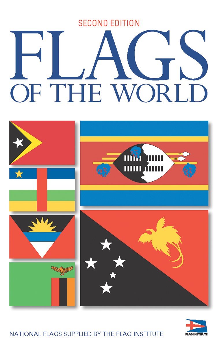
A new flag is an important symbol of change and newfound freedom. More than a dozen new country flags have been adopted since this book's 2003 edition, including South Sudan, Iraq, Kosovo, Burma, Libya, Malawi, Afghanistan, Georgia, Congo-Kinshasa, Montenegro and Serbia.
Flags of the World has been fully revised and updated to reflect today's world. It is organized alphabetically by nation. Concise text describes how the flag came into being and explains the symbolism of its elements, lending a fascinating perspective on the country.
Each country's flag is shown in full color along with these quick-reference facts: Flag ratio, flag use, date of adoption, most recent amendment, geographical area, population, capital city, languages, religions, ethnic groups, national anthem title, and national motto. A sample stamp in color adds further insight.
The book also includes these revised and updated features:
- Brief history of flags
- Anatomy of flags
- Illustrated directory of flag styles
- State flags of the United States
- Flags of the United Kingdom
- Flags of international organizations
- Signal flags and ensigns
- World map.
Flags of the World is an authoritative and brightly illustrated guide to the national flags of all of the world's sovereign states and territories. It has been compiled by a team of international experts and is endorsed by the Flag Institute. It is a highly practical reference that also makes for enjoyable and informative reading.
Specifications
Material Options
 Our paper charts are printed on high resolution, heavyweight, water-resistant paper, using state of the art printing technology. The paper and printing process has been certified by NOAA and deemed to be suitable to withstand the rigors of use in the marine environment. FULL SIZED PAPER CHARTS ARE CERTIFIED FOR CARRIAGE ABOARD COMMERCIAL VESSELS |
 Our waterproof charts are printed on a TIP: If you plan to frame or laminate a chart using heat, then do not choose waterproof because the material can melt under heat. FULL SIZED WATERPROOF CHARTS ARE CERTIFIED FOR CARRIAGE ABOARD COMMERCIAL VESSELS |
Size Options |
|
|
|
 These are up-to-date, NOAA charts simply enlarged in size so that the small dimension of the chart is 42”, the long dimension is proportionally enlarged. These charts are printed beyond full size, therefore the scale is not the same as the full size NOAA chart, however the scale bars on the charts are proportionally enlarged in size, and can be used for reference. LARGE FORMAT CHARTS ARE NOT CERTIFIED FOR CARRIAGE ABOARD COMMERCIAL VESSELS |
Other Options |
|
|
|
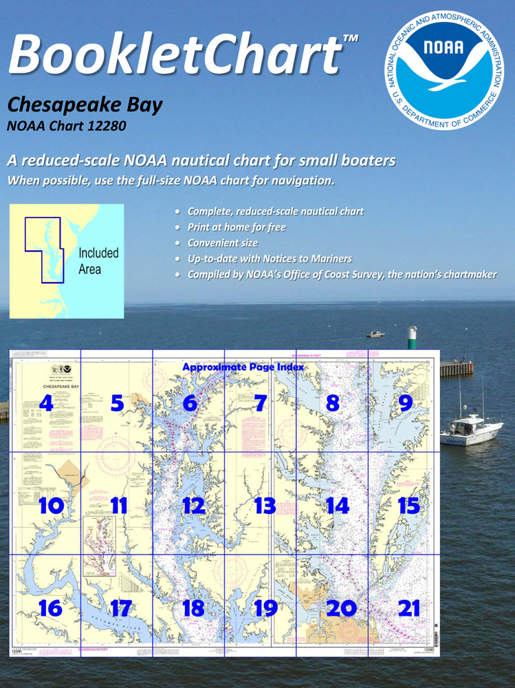
 Made to help recreational boaters locate themselves on the water. It has been reduced in scale for convenience, but otherwise contains all the information of the full-scale nautical chart. The bar scales have also been reduced, and are accurate when used to measure distances in these BookletCharts. • Professionally printed and staple-bound using high quality, durable paper. • Includes Notices to Mariners • Printed on-demand with the latest data from NOAA BOOKLET CHARTS ARE NOT CERTIFIED FOR CARRIAGE ABOARD COMMERCIAL VESSELS |
 |
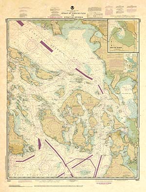
This is a unique line of decorative charts prepared by Paradise Cay Publications.
The short side of the chart is always printed at 36" and the long side will vary depending on the chart - please do not order framing prior to receiving the chart. These will memorialize your favorite coastal area in vintage style and we have added to the standard border of the typical NOAA chart to allow for a more professional, frame-ready presentation. DECORATIVE CHARTS ARE NOT CERTIFIED FOR CARRIAGE ABOARD COMMERCIAL VESSELS |


