Cart is empty
Cruising Atlas for Northwest Waters 2019 Edition
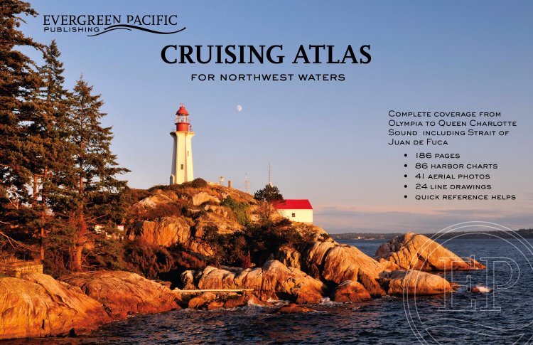
Major updates throughout as of December 2019! It's like having 8 atlases in one! This large scale, large coverage atlas contains the reproduction of government charts covering from Olympia, WA, to Queen Charlotte Sound (following the "inside passage" on the east side of Vancouver Island). It consists of 88 overview charts and 86 detailed charts of harbors, bays, coves, inlets, and passages -- including a two-page chart of Lake Washington.
Forty-one aerial photos provide additional navigational help. This atlas, since its much smaller inception in the early 1950’s, continues to be a handy reference for anyone who enjoys the waters of the Pacific Northwest.
Specifications
Dimensions (IN):
16.8 x 12
Author:
Evergreen Pacific
Supplier/Publisher:
Evergreen Pacific
Published Date:
2019
ISBN:
9781934707111
Date Added:
FEB 2021
Format:
Spiral-Bound
Material Options
 Our paper charts are printed on high resolution, heavyweight, water-resistant paper, using state of the art printing technology. The paper and printing process has been certified by NOAA and deemed to be suitable to withstand the rigors of use in the marine environment. FULL SIZED PAPER CHARTS ARE CERTIFIED FOR CARRIAGE ABOARD COMMERCIAL VESSELS |
 Our waterproof charts are printed on a TIP: If you plan to frame or laminate a chart using heat, then do not choose waterproof because the material can melt under heat. FULL SIZED WATERPROOF CHARTS ARE CERTIFIED FOR CARRIAGE ABOARD COMMERCIAL VESSELS |
Size Options |
|
|
|
 These are up-to-date, NOAA charts simply enlarged in size so that the small dimension of the chart is 42”, the long dimension is proportionally enlarged. These charts are printed beyond full size, therefore the scale is not the same as the full size NOAA chart, however the scale bars on the charts are proportionally enlarged in size, and can be used for reference. LARGE FORMAT CHARTS ARE NOT CERTIFIED FOR CARRIAGE ABOARD COMMERCIAL VESSELS |
Other Options |
|
|
|
 Made to help recreational boaters locate themselves on the water. It has been reduced in scale for convenience, but otherwise contains all the information of the full-scale nautical chart. The bar scales have also been reduced, and are accurate when used to measure distances in these BookletCharts. • Professionally printed and staple-bound using high quality, durable paper. • Includes Notices to Mariners • Printed on-demand with the latest data from NOAA BOOKLET CHARTS ARE NOT CERTIFIED FOR CARRIAGE ABOARD COMMERCIAL VESSELS |
 |
This is a unique line of decorative charts prepared by Paradise Cay Publications.
The short side of the chart is always printed at 36" and the long side will vary depending on the chart - please do not order framing prior to receiving the chart. These will memorialize your favorite coastal area in vintage style and we have added to the standard border of the typical NOAA chart to allow for a more professional, frame-ready presentation. DECORATIVE CHARTS ARE NOT CERTIFIED FOR CARRIAGE ABOARD COMMERCIAL VESSELS |


No reviews found
