Cart is empty
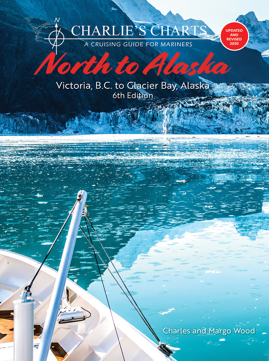
Charlie's Charts: NORTH TO ALASKA 6th Edition (Covers the Inside Passage)
This edition was prepared using the original maps and photos with many new photos added. Some valuable information has also been updated to accommodate the mariner undertaking this voyage. While this edition has been revised for an updated look, we have made every effort to maintain the integrity of the original book.
This cruising guide provides navigation information for a boater departing from Victoria and traveling along the British Columbia and Southeast Alaskan coasts following the protected waters of the Inside Passage to Glacier Bay, Alaska.
It is divided into eight sections with full-color photographs and a sketched chart indicating marinas or anchorages where a cruising boat can find moorage as it travels along the coast. Each location has a detailed sketch and description of a safe approach, recommended anchorages and shore facilities. Crucial portions such as the transit of passes and the passage of Cape Caution are given particular attention with guidelines for timing and recommended routes.
A customized weather map provides excellent information. For cruisers unable to make the entire trip to Alaska shorter trips to spectacular areas on the coast are described such as to Princess Louisa Inlet, Desolation Sound, Broughton Archipelago, Fiordland Recreation Area, Kitimat and the Kitlope.
THE BEST KEEPS GETTING BETTER IN THE LATEST EDITION
Features of this guide include:
- Overview planning chart of the Gulf Islands
- Overview planning chart of Broughton Archipelago to Drury Inlet and Minstrel Island
- Fuel facilities seen at a glance on every "chart" F
- Pump-out stations identified on every "chart" P
- Updated marina websites, email addresses, telephone and fax numbers
- Where are the artificial reefs? What is the story of the sunken vessels? Where is the sunken Boeing 737? It's here!
- Expanded US weather information including "Dial-a-buoy" website
- What is the fascinating story of the two Metlakatlas? It's here!
- Complete update of all facilities from Victoria to Glacier Bay
- The "Whale Trail" that orcas follow on their way to Robson Bight
- The same "user-friendly" and practical approach to safe boating on this spectacular coast illustrated with beautiful color photographs and sea-view landscape profile sketches.
"If you're going north this coming year, don't even think about leaving without this book. It is one you can't do without. It also is a great book to keep around the house to answer all those questions that come up when you're planning a cruise to Alaska." Review by Richard W. Hammond in Northwest Yachting, January 2001
Specifications
Dimensions (IN):
8.5 x 11
Pages:
276 pages
Author:
Charles and Margo Wood
Supplier/Publisher:
Charlie's Charts
Published Date:
2020
ISBN:
9781951116392
Date Added:
Oct 2020
Format:
Paperback
Material Options
 Our paper charts are printed on high resolution, heavyweight, water-resistant paper, using state of the art printing technology. The paper and printing process has been certified by NOAA and deemed to be suitable to withstand the rigors of use in the marine environment. FULL SIZED PAPER CHARTS ARE CERTIFIED FOR CARRIAGE ABOARD COMMERCIAL VESSELS |
 Our waterproof charts are printed on a TIP: If you plan to frame or laminate a chart using heat, then do not choose waterproof because the material can melt under heat. FULL SIZED WATERPROOF CHARTS ARE CERTIFIED FOR CARRIAGE ABOARD COMMERCIAL VESSELS |
Size Options |
|
|
|
 These are up-to-date, NOAA charts simply enlarged in size so that the small dimension of the chart is 42”, the long dimension is proportionally enlarged. These charts are printed beyond full size, therefore the scale is not the same as the full size NOAA chart, however the scale bars on the charts are proportionally enlarged in size, and can be used for reference. LARGE FORMAT CHARTS ARE NOT CERTIFIED FOR CARRIAGE ABOARD COMMERCIAL VESSELS |
Other Options |
|
|
|
 Made to help recreational boaters locate themselves on the water. It has been reduced in scale for convenience, but otherwise contains all the information of the full-scale nautical chart. The bar scales have also been reduced, and are accurate when used to measure distances in these BookletCharts. • Professionally printed and staple-bound using high quality, durable paper. • Includes Notices to Mariners • Printed on-demand with the latest data from NOAA BOOKLET CHARTS ARE NOT CERTIFIED FOR CARRIAGE ABOARD COMMERCIAL VESSELS |
 |
This is a unique line of decorative charts prepared by Paradise Cay Publications.
The short side of the chart is always printed at 36" and the long side will vary depending on the chart - please do not order framing prior to receiving the chart. These will memorialize your favorite coastal area in vintage style and we have added to the standard border of the typical NOAA chart to allow for a more professional, frame-ready presentation. DECORATIVE CHARTS ARE NOT CERTIFIED FOR CARRIAGE ABOARD COMMERCIAL VESSELS |


No reviews found
