
Cart is empty
Chapman Piloting & Seamanship 70th Edition - Book
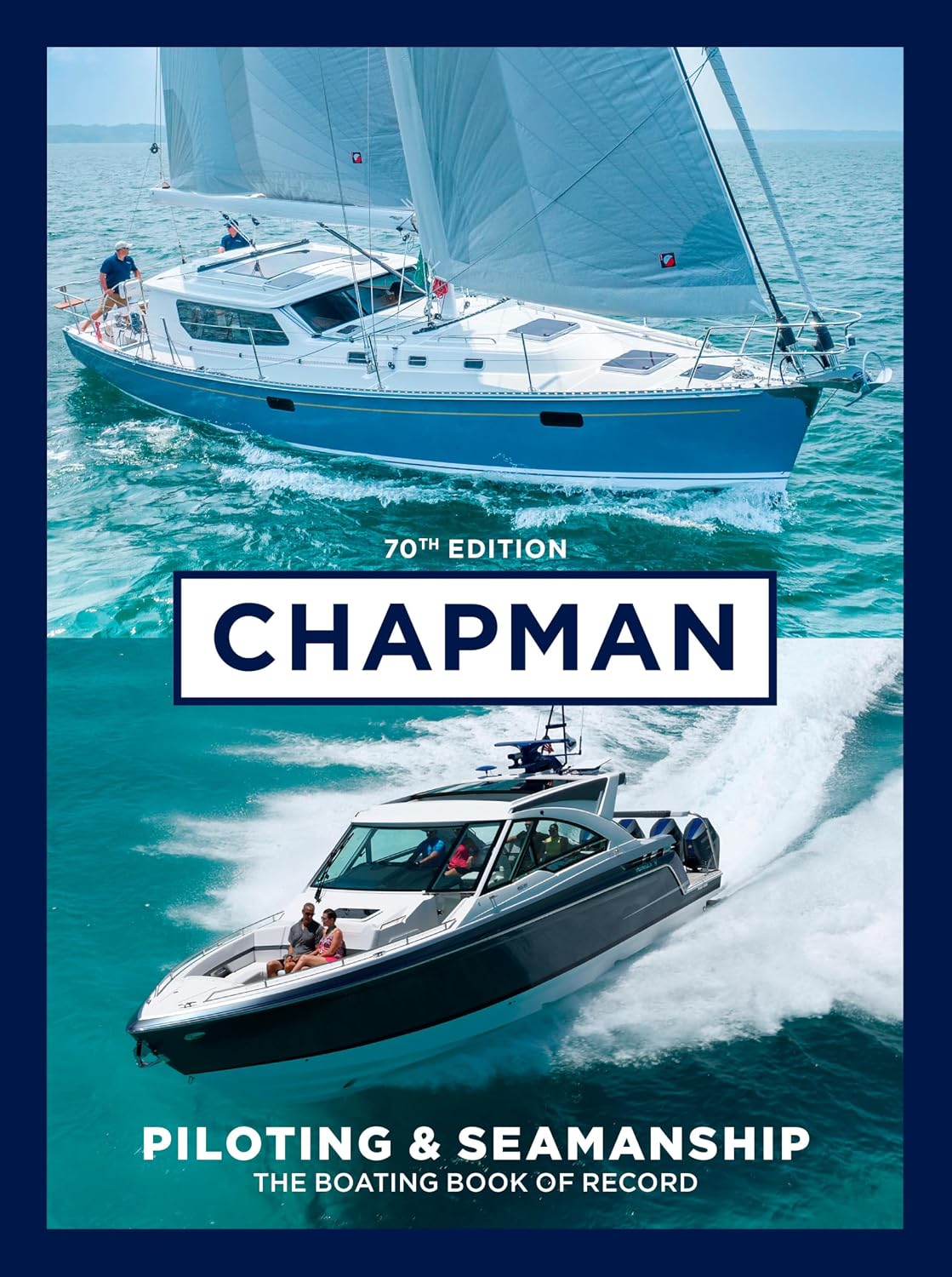
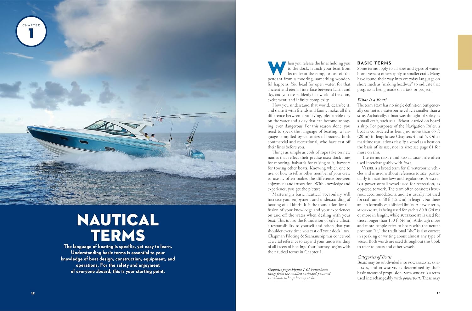
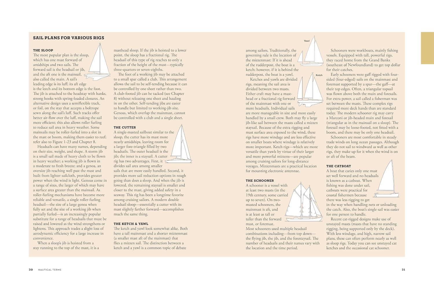
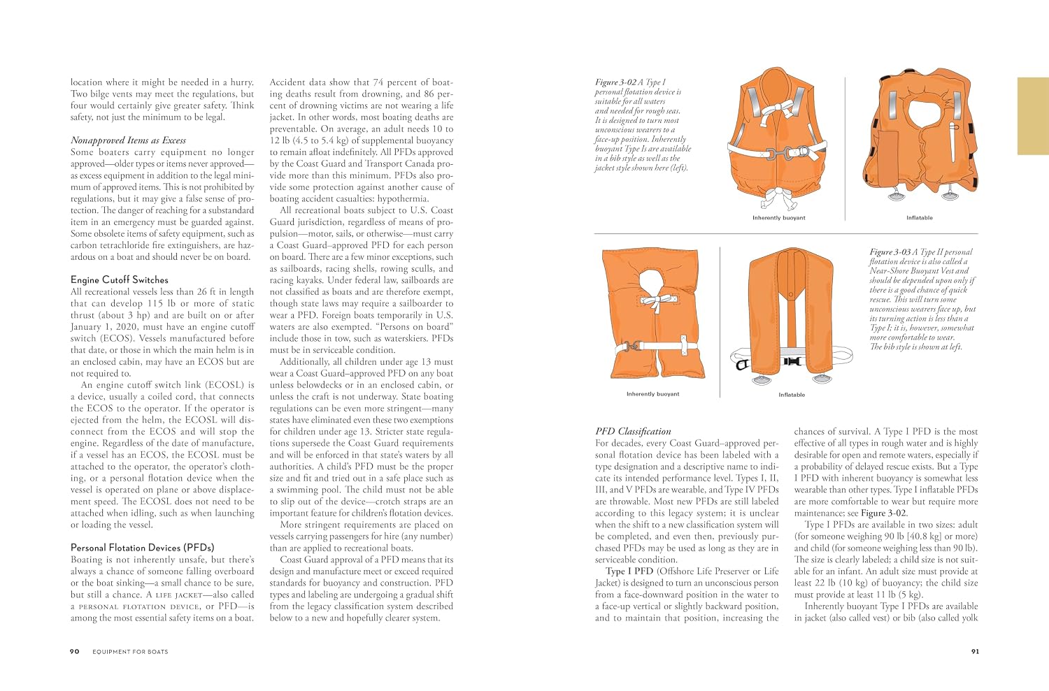
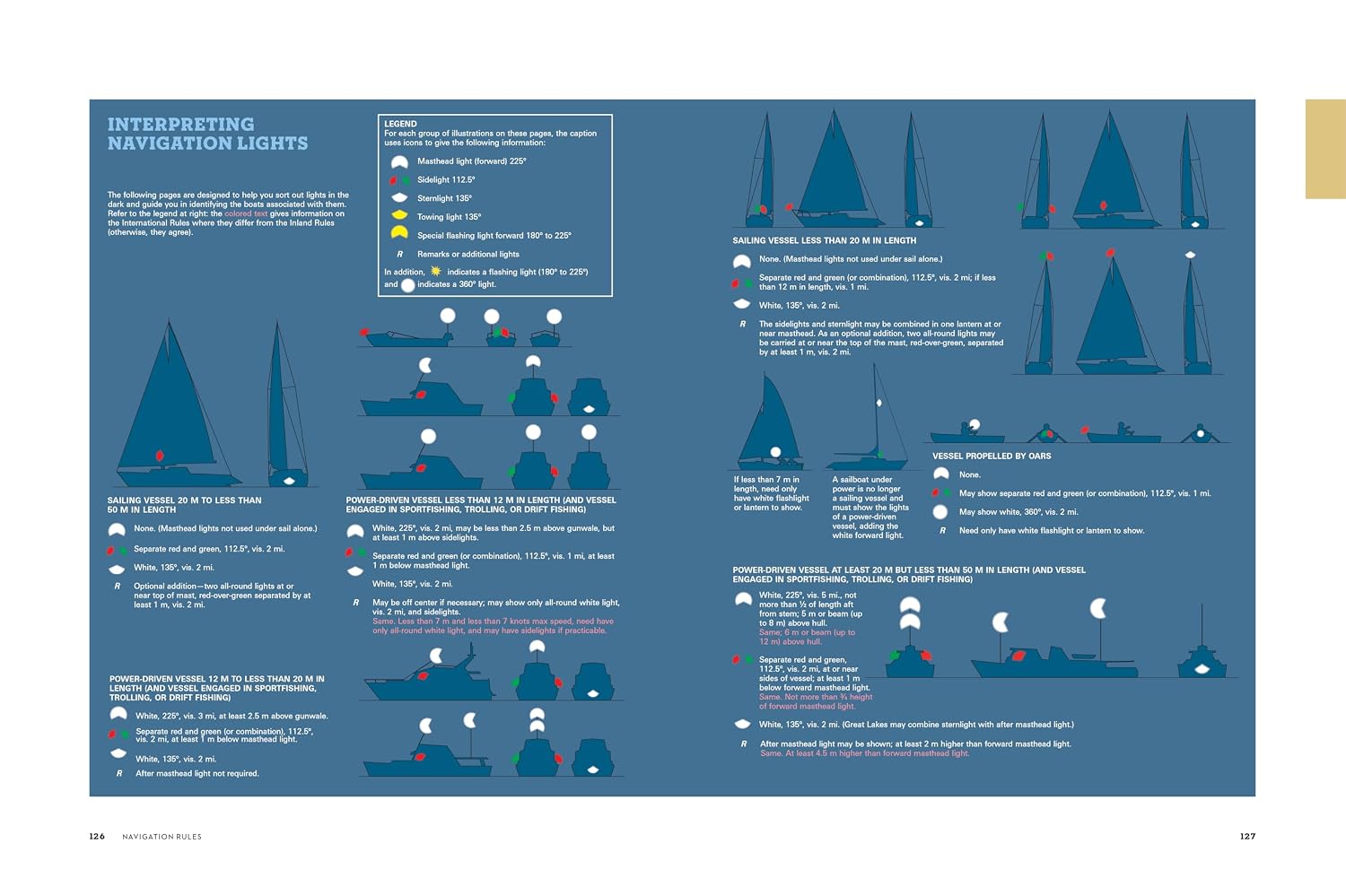
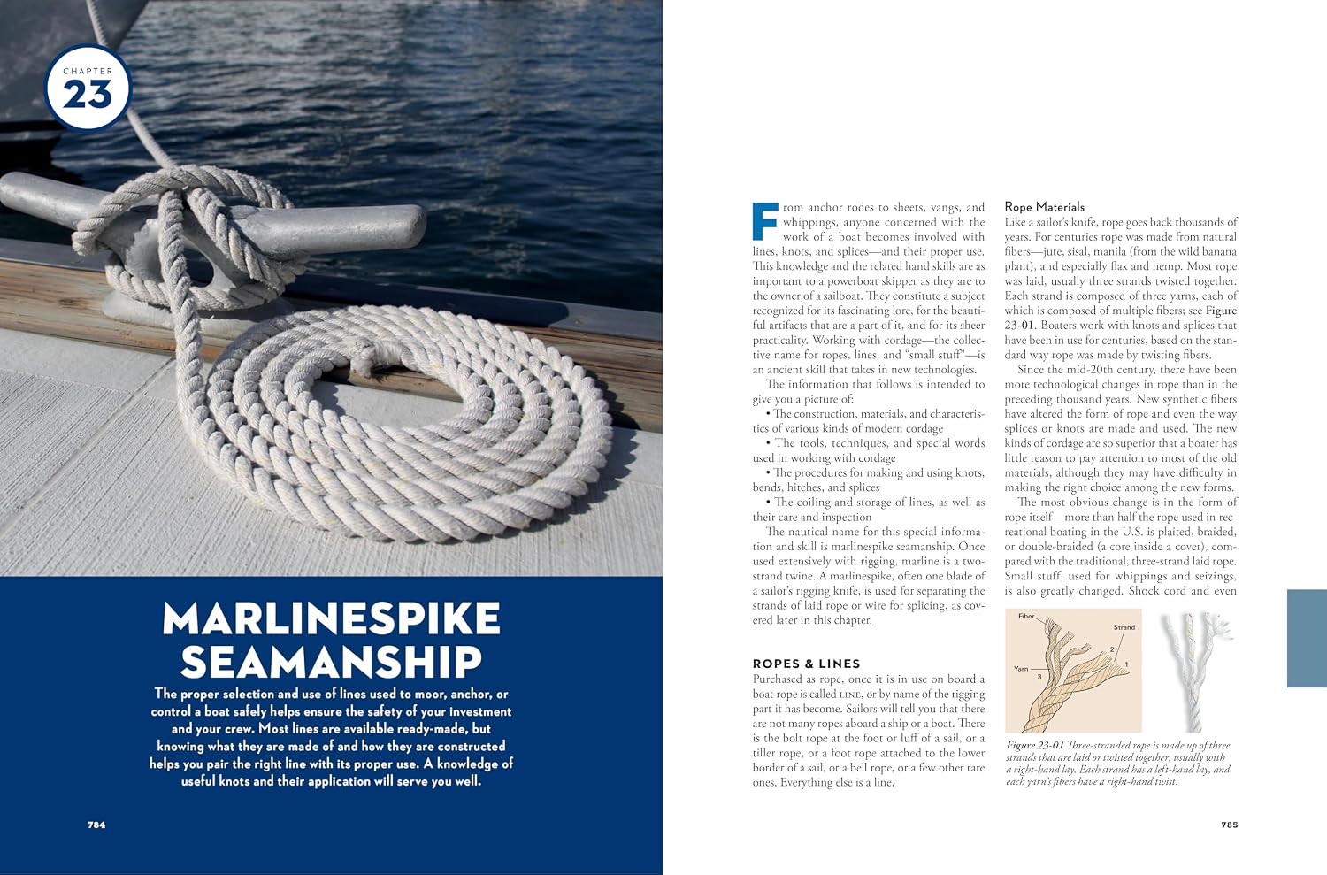


The definitive boating book for sailors and powerboaters, America’s trusted guide to safe, confident, and joyful boating.
For more than a century, Chapman Piloting & Seamanship has been the foundational boating book—the essential reference trusted by sailors, powerboaters, and navigators on coastal and inland waters. Used and recommended by the U.S. Coast Guard Auxiliary, U.S. Power Squadrons, BoatUS Foundation, and US Sailing, this 70th edition upholds Chapman’s standard as the boating bible for every skill level.
Inside, readers will find expert guidance on every aspect of boating, sailing, navigation, and seamanship, including:
With 1,500 full-color photos, charts, and drawings, and a 4,200-entry index, Chapman’s offers comprehensive coverage for safe, confident boating. Whether you’re learning how to sail, maintaining your vessel, or seeking a gift for boaters or sailors, this classic sailing book remains the ultimate resource. It’s ideal for any home nautical library and the handy ebook edition means you can also easily take it on board whenever you set sail.
Perfect for: sailing gifts, boating gifts, sailor gifts, boater gifts, sailing log book users, knot tying book collectors, and anyone passionate about life on the water.
For more than a century, Chapman Piloting & Seamanship has been the foundational boating book—the essential reference trusted by sailors, powerboaters, and navigators on coastal and inland waters. Used and recommended by the U.S. Coast Guard Auxiliary, U.S. Power Squadrons, BoatUS Foundation, and US Sailing, this 70th edition upholds Chapman’s standard as the boating bible for every skill level.
Inside, readers will find expert guidance on every aspect of boating, sailing, navigation, and seamanship, including:
- Anchoring and mooring techniques
- Communication with radar, radio, and satellite systems
- Engine operation and maintenance for gas, diesel, inboard, or outboard engines
- How to tie knots, handle lines, and make them fast
- Navigating day or night in any weather
- Technology advances in AI, communications, and propulsion
- Trailerboating and trailer maintenance
- Weather reading and safety practices
With 1,500 full-color photos, charts, and drawings, and a 4,200-entry index, Chapman’s offers comprehensive coverage for safe, confident boating. Whether you’re learning how to sail, maintaining your vessel, or seeking a gift for boaters or sailors, this classic sailing book remains the ultimate resource. It’s ideal for any home nautical library and the handy ebook edition means you can also easily take it on board whenever you set sail.
Perfect for: sailing gifts, boating gifts, sailor gifts, boater gifts, sailing log book users, knot tying book collectors, and anyone passionate about life on the water.
Specifications
Dimensions (IN):
8.75 x 11.15
Pages:
896 pages
Author:
Charles Chapman, John Wooldridge
Supplier/Publisher:
PENGUIN RANDOM HOUSE
Published Date:
2026
ISBN:
9781958395516
Date Added:
October 2026
Material Options
 Our paper charts are printed on high resolution, heavyweight, water-resistant paper, using state of the art printing technology. The paper and printing process has been certified by NOAA and deemed to be suitable to withstand the rigors of use in the marine environment. FULL SIZED PAPER CHARTS ARE CERTIFIED FOR CARRIAGE ABOARD COMMERCIAL VESSELS |
 Our waterproof charts are printed on a TIP: If you plan to frame or laminate a chart using heat, then do not choose waterproof because the material can melt under heat. FULL SIZED WATERPROOF CHARTS ARE CERTIFIED FOR CARRIAGE ABOARD COMMERCIAL VESSELS |
Size Options |
|
|
|
 These are up-to-date, NOAA charts simply enlarged in size so that the small dimension of the chart is 42”, the long dimension is proportionally enlarged. These charts are printed beyond full size, therefore the scale is not the same as the full size NOAA chart, however the scale bars on the charts are proportionally enlarged in size, and can be used for reference. LARGE FORMAT CHARTS ARE NOT CERTIFIED FOR CARRIAGE ABOARD COMMERCIAL VESSELS |
Other Options |
|
|
|
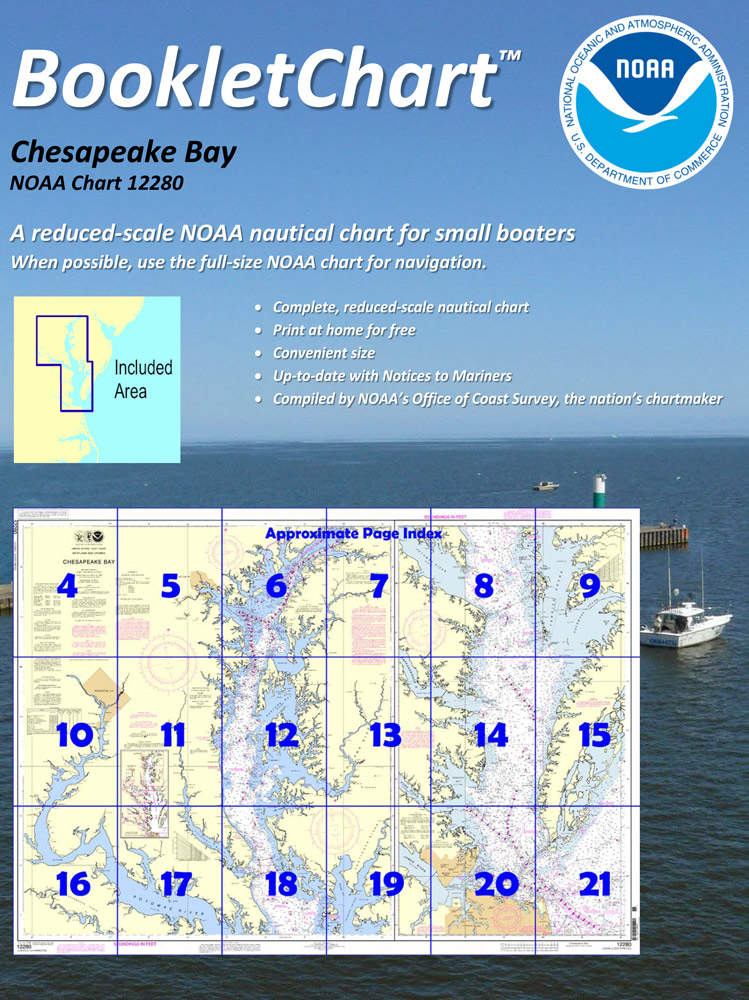
 Made to help recreational boaters locate themselves on the water. It has been reduced in scale for convenience, but otherwise contains all the information of the full-scale nautical chart. The bar scales have also been reduced, and are accurate when used to measure distances in these BookletCharts. • Professionally printed and staple-bound using high quality, durable paper. • Includes Notices to Mariners • Printed on-demand with the latest data from NOAA BOOKLET CHARTS ARE NOT CERTIFIED FOR CARRIAGE ABOARD COMMERCIAL VESSELS |
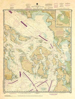 |
This is a unique line of decorative charts prepared by Paradise Cay Publications.
The short side of the chart is always printed at 36" and the long side will vary depending on the chart - please do not order framing prior to receiving the chart. These will memorialize your favorite coastal area in vintage style and we have added to the standard border of the typical NOAA chart to allow for a more professional, frame-ready presentation. DECORATIVE CHARTS ARE NOT CERTIFIED FOR CARRIAGE ABOARD COMMERCIAL VESSELS |


No reviews found
