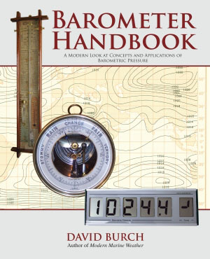
With the exception of trained meteorological crews, barometers in the past were used at sea primarily to learn if the pressure was going up or down, and whether it was doing this rapidly or slowly. And from this we made an educated guess of a likely consequence, usually in conjunction with other observations. Outside of professional marine use, little effort was made to know the true pressure for several reasons. We did not know what to do with it if we had it, and more often we could not get it if we wanted it, because most barometers were not calibrated. This has changed. We now have many valuable applications of accurate pressure, and we also have affordable ways to get it, and we have convenient ways to prove our instruments work properly. The main goal of this book is to show how all this comes about, and to give more insight into this fascinating, venerable instrument that has been with us for 150 years. Another goal is to introduce users to the new breed of electronic devices that are in the process of revolutionizing how we do weather at sea. We also re-introduce mariners to several classic aneroid instruments that are highly accurate and tested at sea for over 70 years, and why we benefit from having both a calibrated aneroid and an electronic barometer on board. A good barometer is the key to good weather work. This book explains how to evaluate a barometer and how to carry out a simple calibration using convenient online resources (see www. starpath. com/barometers). How to use accurate pressure in marine navigation is also explained with practical examples. Also included are monthly mean sea level pressures worldwide, including the standard deviations of each. Samples can be seen below. Once we know how to get accurate pressure, there is much value to this type of statistical data, especially when sailing in the tropics.
Specifications
Material Options
 Our paper charts are printed on high resolution, heavyweight, water-resistant paper, using state of the art printing technology. The paper and printing process has been certified by NOAA and deemed to be suitable to withstand the rigors of use in the marine environment. FULL SIZED PAPER CHARTS ARE CERTIFIED FOR CARRIAGE ABOARD COMMERCIAL VESSELS |
 Our waterproof charts are printed on a TIP: If you plan to frame or laminate a chart using heat, then do not choose waterproof because the material can melt under heat. FULL SIZED WATERPROOF CHARTS ARE CERTIFIED FOR CARRIAGE ABOARD COMMERCIAL VESSELS |
Size Options |
|
|
|
 These are up-to-date, NOAA charts simply enlarged in size so that the small dimension of the chart is 42”, the long dimension is proportionally enlarged. These charts are printed beyond full size, therefore the scale is not the same as the full size NOAA chart, however the scale bars on the charts are proportionally enlarged in size, and can be used for reference. LARGE FORMAT CHARTS ARE NOT CERTIFIED FOR CARRIAGE ABOARD COMMERCIAL VESSELS |
Other Options |
|
|
|
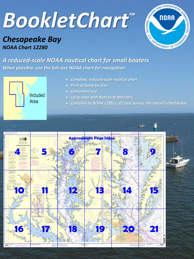
 Made to help recreational boaters locate themselves on the water. It has been reduced in scale for convenience, but otherwise contains all the information of the full-scale nautical chart. The bar scales have also been reduced, and are accurate when used to measure distances in these BookletCharts. • Professionally printed and staple-bound using high quality, durable paper. • Includes Notices to Mariners • Printed on-demand with the latest data from NOAA BOOKLET CHARTS ARE NOT CERTIFIED FOR CARRIAGE ABOARD COMMERCIAL VESSELS |
 |
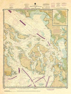
This is a unique line of decorative charts prepared by Paradise Cay Publications.
The short side of the chart is always printed at 36" and the long side will vary depending on the chart - please do not order framing prior to receiving the chart. These will memorialize your favorite coastal area in vintage style and we have added to the standard border of the typical NOAA chart to allow for a more professional, frame-ready presentation. DECORATIVE CHARTS ARE NOT CERTIFIED FOR CARRIAGE ABOARD COMMERCIAL VESSELS |


