
Cart is empty
2027 Nautical Almanac - Book
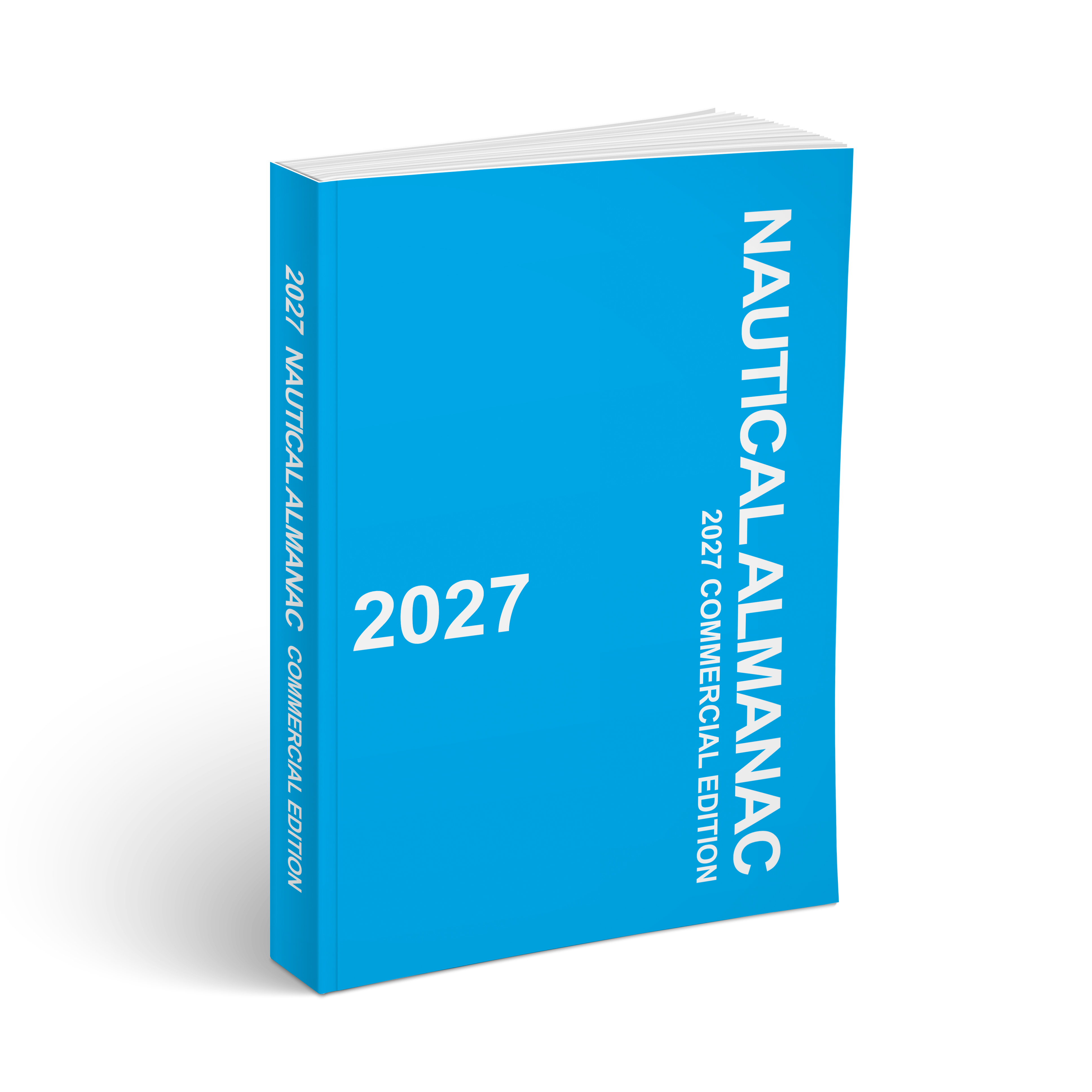
The Nautical Almanac 2027 is an essential resource for maritime navigation, offering detailed astronomical data crucial for safe and accurate celestial navigation at sea. Developed by Her Majesty's Nautical Almanac Office, this comprehensive almanac supports bridge crews in both routine and emergency situations, ensuring that they are well-equipped for safe voyages.
This edition is indispensable for both naval professionals and leisure sailors, making it an absolute must-have. The Nautical Almanac 2027 features a wide range of information designed specifically for skilled navigators who rely on celestial bodies for positioning.
- It provides tabulated data of the Sun, Moon, and navigational stars, assisting users in determining their positions using a sextant.
- The almanac includes vital times for sunrise, sunset, and moon phases, which help bridge crews plan their observations effectively.
Additionally, the Nautical Almanac 2027 supplies:
- Detailed tables for interpolation and altitude corrections, along with pole star identification diagrams.
- Information on standard time zones for various countries worldwide, enhancing global navigation accuracy.
Written clearly and concisely, this publication also provides ready-to-use sight reduction tables and forms tailored for navigational ease. Whether aboard a Royal Navy vessel or a private yacht, the Nautical Almanac 2027 is essential for on-the-water navigation.
Specifications
Dimensions (IN):
7 x 10
Supplier/Publisher:
Squatch Metalworks
Published Date:
2026
ISBN:
9781965876121
Date Added:
September 2026
Material Options
 Our paper charts are printed on high resolution, heavyweight, water-resistant paper, using state of the art printing technology. The paper and printing process has been certified by NOAA and deemed to be suitable to withstand the rigors of use in the marine environment. FULL SIZED PAPER CHARTS ARE CERTIFIED FOR CARRIAGE ABOARD COMMERCIAL VESSELS |
 Our waterproof charts are printed on a TIP: If you plan to frame or laminate a chart using heat, then do not choose waterproof because the material can melt under heat. FULL SIZED WATERPROOF CHARTS ARE CERTIFIED FOR CARRIAGE ABOARD COMMERCIAL VESSELS |
Size Options |
|
|
|
 These are up-to-date, NOAA charts simply enlarged in size so that the small dimension of the chart is 42”, the long dimension is proportionally enlarged. These charts are printed beyond full size, therefore the scale is not the same as the full size NOAA chart, however the scale bars on the charts are proportionally enlarged in size, and can be used for reference. LARGE FORMAT CHARTS ARE NOT CERTIFIED FOR CARRIAGE ABOARD COMMERCIAL VESSELS |
Other Options |
|
|
|
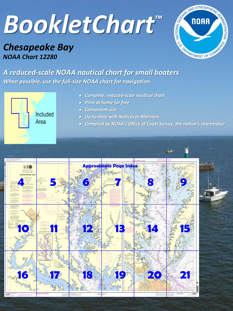
 Made to help recreational boaters locate themselves on the water. It has been reduced in scale for convenience, but otherwise contains all the information of the full-scale nautical chart. The bar scales have also been reduced, and are accurate when used to measure distances in these BookletCharts. • Professionally printed and staple-bound using high quality, durable paper. • Includes Notices to Mariners • Printed on-demand with the latest data from NOAA BOOKLET CHARTS ARE NOT CERTIFIED FOR CARRIAGE ABOARD COMMERCIAL VESSELS |
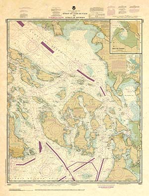 |
This is a unique line of decorative charts prepared by Paradise Cay Publications.
The short side of the chart is always printed at 36" and the long side will vary depending on the chart - please do not order framing prior to receiving the chart. These will memorialize your favorite coastal area in vintage style and we have added to the standard border of the typical NOAA chart to allow for a more professional, frame-ready presentation. DECORATIVE CHARTS ARE NOT CERTIFIED FOR CARRIAGE ABOARD COMMERCIAL VESSELS |


No reviews found
